Emsis — Manual
5.3
Maps Screen
5.3
Maps Screen
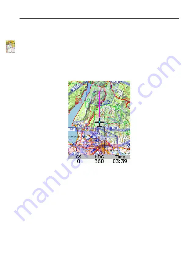
The Maps screen is illustrated in Figure 9. Maps can be shown on
Emsis only if GPS information is present on the CAN bus. Emsis
PFD supports this by default, while other versions depend on units
that are connected to the CAN bus (Nesis, some other Emsis PFD,
Horis, etc.).
Figure 9:
Emsis maps screen
Maps are not enabled by default. This option must be purchased,
preferably at the time of the order. However, this can be done later
as well.
Emsis can show raster maps, which must be copied to its internal
memory first. Currently we have limited raster maps support. In
future more countries will be supported. Please visit our web site for
more details.
27
©
Kanardia
2021


