p. 55
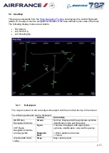
5.3 Area Map
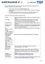
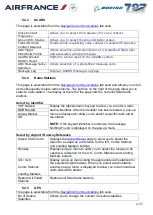
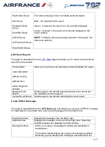
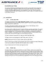
This page is selectable from the
and displays the aircraft flight path
relative to the airport and the navigational facilities in the area defined by the scale of the map.
The following display modes are available:
Ref Airport
A/C North Up
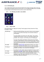
A/C Heading Up
5.3.1
Ref Airport
The map is centred on the currently active airport with true north at the top of the screen.
The following elements can be displayed:
Colour
Comments
NDB Radio
Navigation Stations
Green
Normal. Displayed with appropriate symbols,
identification code and frequency.
VHF Radio
Navigation Stations
and waypoints
Cyan
Magenta
Red
= Normal. Displayed with appropriate
symbols, identification code and frequency.
= When stations are tuned.
= Failed.
Airports(with ICAO
code)
Grey
Map centre airport.


