101
“ATLAS” FUNCTION
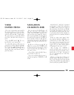
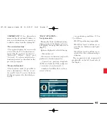
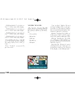
The “Atlas” function (
fig. 87
)
makes it possible to move through the
map by the selectable sections using
the multifunction keys; key options
are the following:
– Multifunction key 1 = to move sec-
tion “1” to the centre of the display
– Multifunction key 2 = to move sec-
tion “2” to the centre of the display
– Multifunction key 3 = to move sec-
tion “3” to the centre of the display
– Multifunction key 4 = to move sec-
tion “4” to the centre of the display
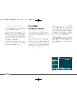
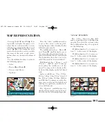
Pressing the MAP key
20
(
fig. 1
) it
is possible to display the map screen,
where the car is shown with an arrow
with the tip pointing in the direction of
travel (
fig. 86
). The destination to be
reached is shown by a red cross while
the items of the route: roads, rivers,
railway lines are shown with coloured
lines.
Use the mltifunction keys to activate
the following options:
– Atlas
– Route
¯
and Route
˙
– Zoom + and Zoom –
– Options.
Press the “Atlas” multifunction key
to move the cursor on the map fol-
lowing the procedure described in the
following paragraphs.
The multifunction keys “Route
¯
”
and “Route
˙
” shall be used to move
the cursor along the calculated route, re-
spectively towards the start and towards
the destination; these keys are active
only if the route has been calculated.
Multifunction keys “Zoom +” and
“Zoom –” shall be used to enlarge
and reduce the visible area of the
map. The map scale is shown at the
bottom of the display on the left-hand
side.
Scales available are: 50 m, 100 m,
200 m, 500 m, 1 km, 2 km, 5 km, 10
km, 20 km, 50 km, 100 km, 200 km
and 500 km. To enlarge or reduce the
map you can also use the right knob
turning it respectively counterclock-
wise and clockwise.
The “Options” multifunction key
displays the menu for map options as
described in the following paragraphs.
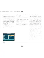
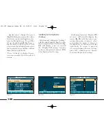
fig. 86
L0A5140g
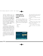
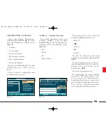
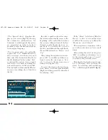
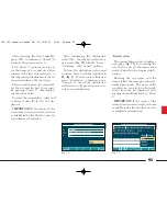
MAP REPRESENTATION
fig. 87
L0A5141g
087-102 connect thesis GB 22-10-2007 10:43 Pagina 101

