•
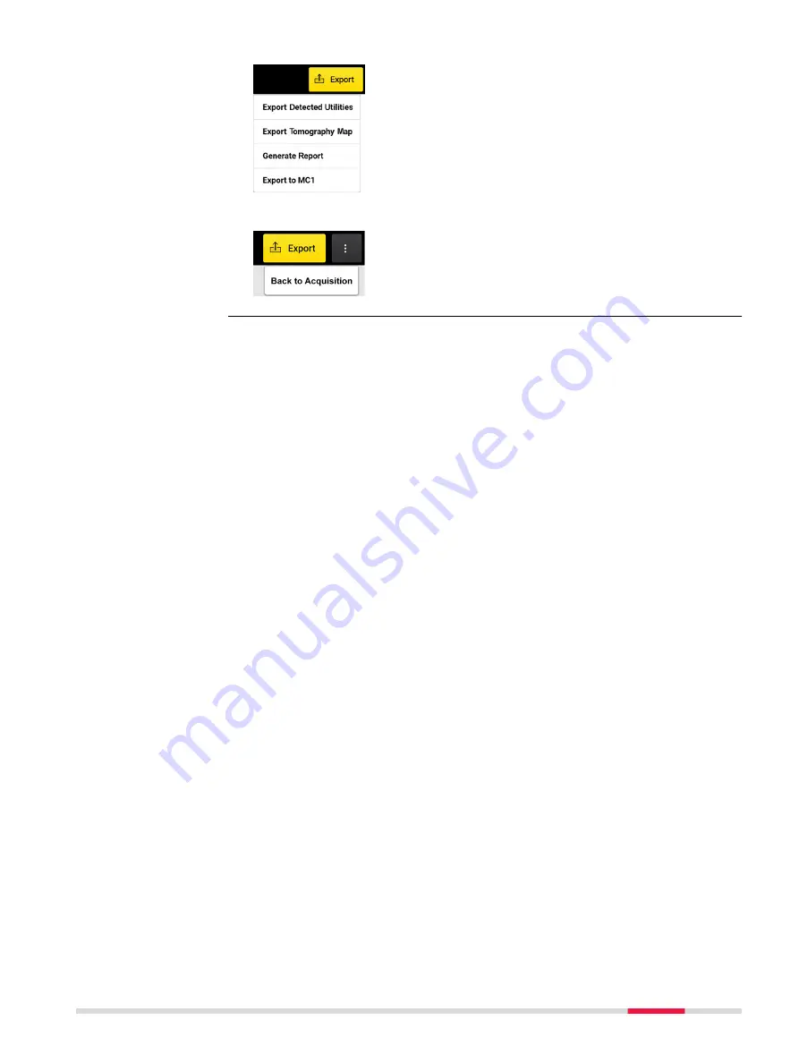
Export Detected Utilities
: In DXF format. Specify
the export coordinate system.
•
Export Tomography Map:
In image formats. PNG,
JPG, TIFF, and so on.
•
Generate Report:
Generates a survey report.
•
Export to MC1
: Generates the detected utilities and
scan area in DXF format, under the MC1-compatible
directory structure. This file allows using the DXplore
output directly on the excavator, controlled by MC1
software by USB syncing.
•
Back to Acquisition:
Allows the operator to go
back to the acquisition screen and rescan a few
lines when a problem in tomography is spotted.
DXplore Software
33


