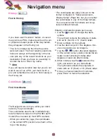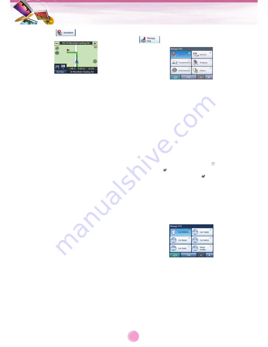
Simulation (
)
This feature has no navigation function, it
merely provides a quick view of the route.
It will present a simulation of the route show-
ing what you will see later when navigating.
•
In this mode the simulation is run at normal
speed (using the speed limit of the streets
and roads in the route), and voice instruc-
tions are also played.
•
This mode is mainly useful for demonstrating
the Navigator, or to learn the way it works
before your start your first journey.
Tap anywhere on the screen to stop the simu-
lation.
Manage POI (Points of Interest)
(
)
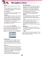
Here you can set all the parameters of POIs
that you have created and the visibility of the
built-in POIs that come with the map.
You can decide which POI groups to show
and which ones to hide on the map.
You can set the visibility of the top two levels.
All levels below that will be shown or hidden
according to their respective category (i.e. you
can set the visibility of Petrol Stations in the
Services category, but all brands listed under
that will either be shown or suppressed
together).
Groups shown with a grey icon
are hidden;
blue icons
are visible on the map, while the
ones shown in two colours
have some of
their subcategories shown and some others
hidden.
If you highlight any of the POI groups by tap-
ping them, the button in the bottom will
become “Show” if the POI group is hidden, or
“Hide” if the group is shown or partly shown.
Tapping again the highlighted POI group
(except for My POI – described later) opens
the list of subcategories of that group. Here
you cannot see bicolour subgroups, as visibili-
ty can only be set for the top two levels of cat-
egories. Showing and hiding a subgroup is
done the same way as for the main groups.
Navigation menu
26


