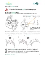

Freedom
User Guide V1.02
49
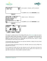
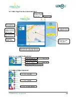
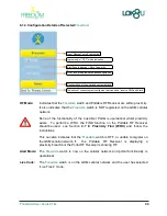
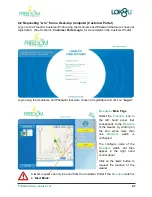
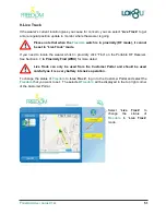
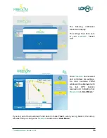
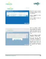
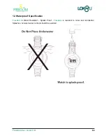
Once a GPS location is
received the image in the left
hand panel will change to the
image
of
the
Freedom
selected at registration and
the GPS location will be
shown on the map.
If
the
wearer’s current
location gives you cause for
concern, select “
Live Track
”
to monitor where they are
going. (See Section 11,
Live
Track
, for more information
on operation.)
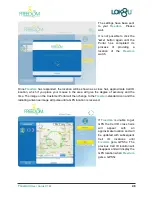
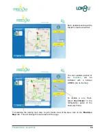
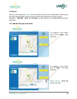
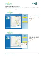
You can select the format of the map to be:
“
Map
” View - street map format showing street names
“
Satellite
” View - helicopter view of the location
“
Hybrid
” View - helicopter view of the location with street names
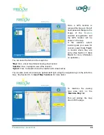
You can also zoom in/out and pan up/down/left/ right using the navigation keys to the left of the
map. See Section 6.1.5,
Use of Map Functions
for more detail.
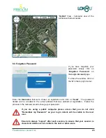
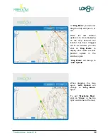
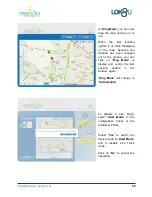
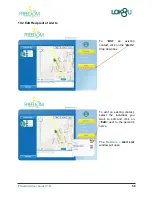
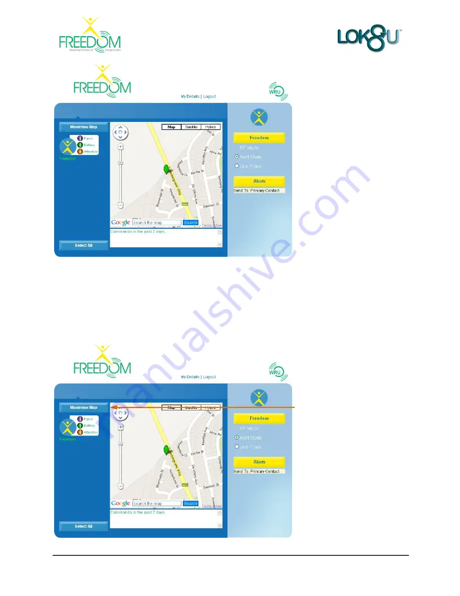
To maximise the viewing
map area click on the
“
Maximise Map
” tab.
This will enlarge the map
area to fill the page.


