57
world, or just a small portion. By default, your position shows using the
WGS-84 datum. However, it can show your position using one of 191
different datums.
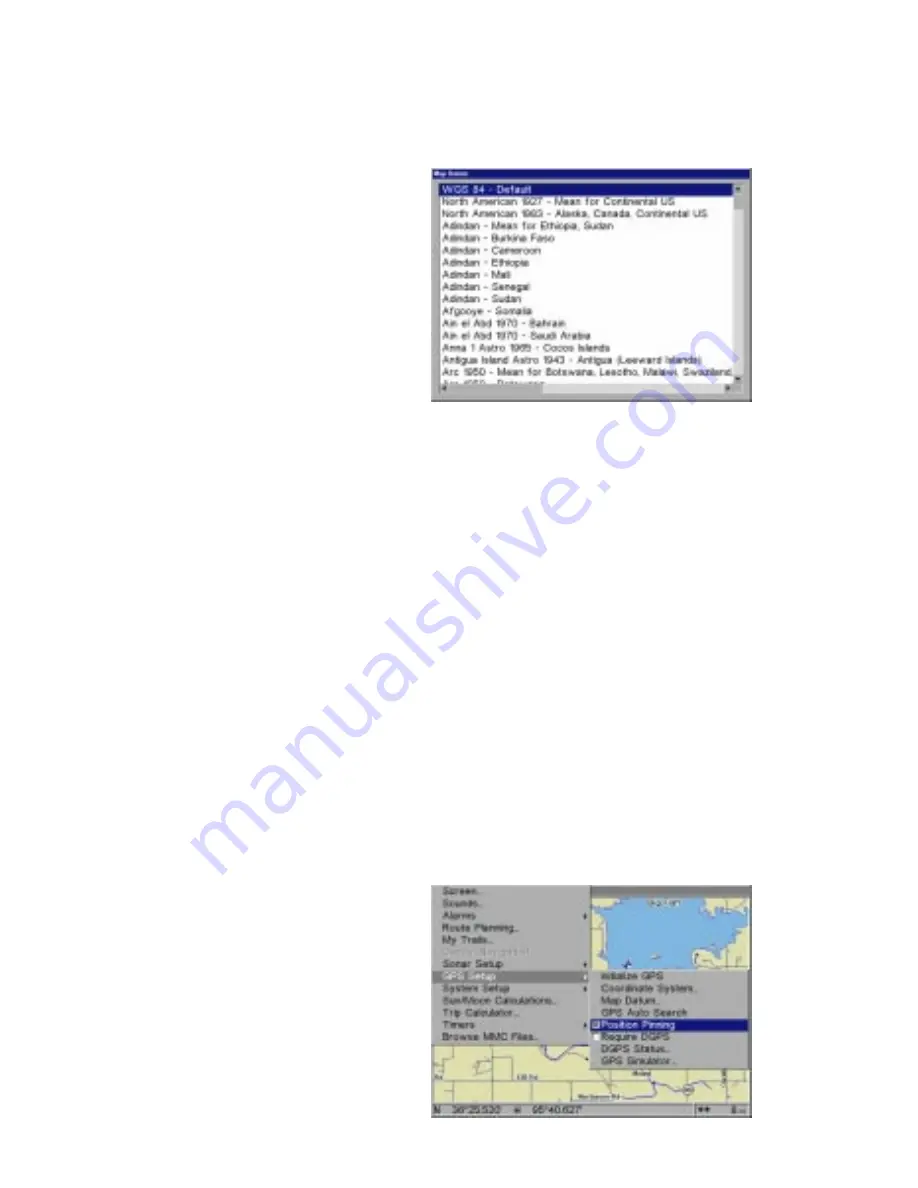
To change the datum, first press
the MENU key, then highlight the
“GPS Setup” label and press the
ENT key. Now highlight the “Map
Datum” label. Finally, press the
ENT key again. A screen similar
to the one at right appears.
The “WGS-84 - Default” label is
highlighted. To change it, simply
press the up or down arrow keys
to highlight the desired datum, then press the ENT key. This selects the
datum and erases the select datum menu.
A list of the datums used by this unit is in the back of this manual.
Position Pinning
When using a GPS receiver at extremely low speeds, it can have trouble
determining your course over ground, or direction you’re travelling.
If you’re using this receiver without DGPS and stop, the position pinning
feature locks the present position indicator on the plotter until you’ve moved
a short distance or exceed a very slow speed. This prevents the “wander-
ing” plot trail seen when you’re stopped with position pinning turned off.
This also affects the navigational displays.
The easiest way to see the wandering is to stand still with the GPS re-
ceiver turned on and watch your plot trail with position pinning turned off.
You’ll see the present position change, speed increase and decrease,
and a random plot trail on the plotter’s screen.
If you wish to turn the position
pinning feature off, press the
MENU key, then highlight the
“GPS Setup” label and press the
right arrow key. Now highlight the
“Position Pinning” label. Finally,
press the ENT key. Reverse the
above steps to turn it on again.


