77
Overlay Data
On any Page display except Satellite Status, you can "float" or overlay
additional GPS or navigation data on the screen with the Overlay Data
command. For example, if you left your watch at home, you could dis-
play the local time on top of the map. Or, if you wanted to see details
about your route and trip, you could show your bearing, course, average
speed and trip distance.
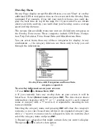
The various data available from your unit are divided into categories in
the Overlay Data menu. These categories include GPS Data, Naviga-
tion, Trip Calculator, Time, Sonar Data and Miscellaneous Data.
You can select items from any of these categories for display, in any
combination — the category divisions are there only to help you sort
through the information.
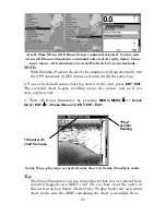
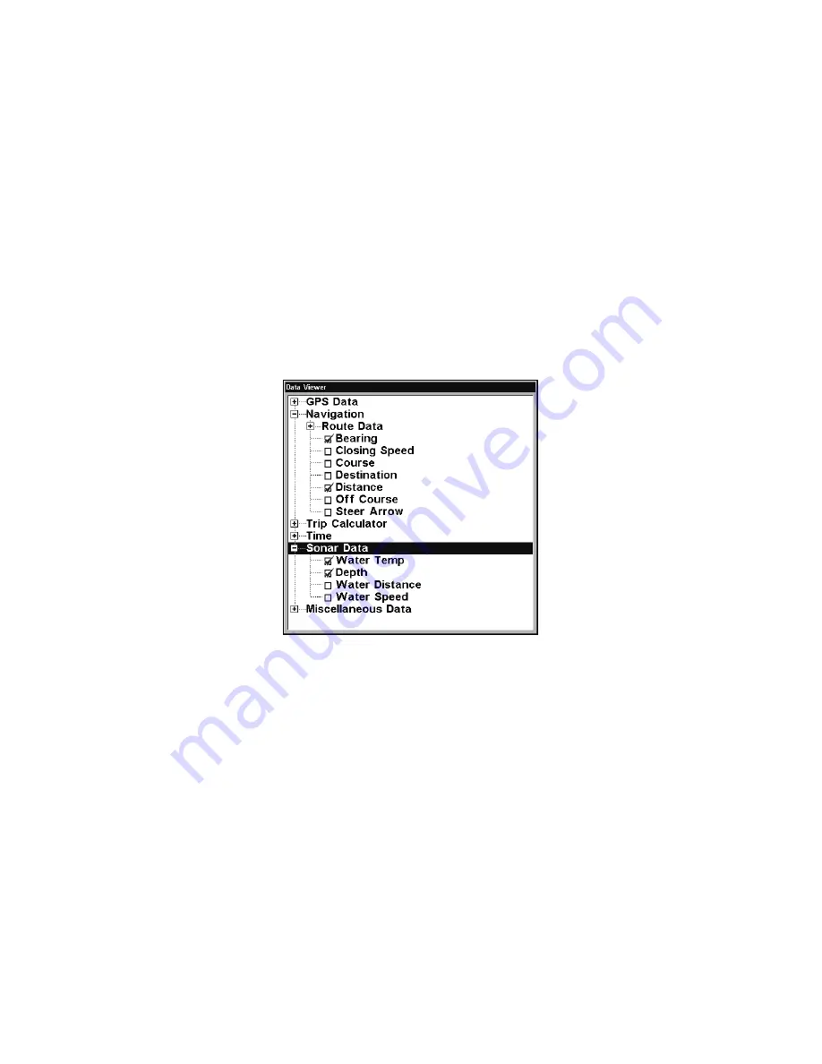
Overlay Data, with Navigation and Sonar Data
categories expanded.
To overlay information on your screen:
1. Press
MENU
|
↓
to
O
VERLAY
D
ATA
|
ENT
.
2. If you currently have any overlay data on your screen, it will be
listed here. Select
(E
NTER TO ADD
)
and press
ENT
. The data viewer shows
information categories with "+" or "–" symbols next to each category
name. A category with a "+" next to it is
expandable
, meaning its con-
tents are hidden.
Selecting the category name and pressing
ENT
will show the category's
contents, so you can choose items within it. An expanded category (one
with a "–" next to its name) can be collapsed to hide its contents. Just
select the category name and press
ENT
.
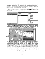
3. Expand any categories that might contain data you want to display.
Then press
↓
or
↑
to select a data option.
Summary of Contents for LMS-332C
Page 20: ...12 Notes ...
Page 52: ...44 Notes ...
Page 61: ...53 Notes ...
Page 68: ...60 Notes ...
Page 106: ...98 Notes ...
Page 110: ...102 Notes ...
Page 190: ...182 Notes ...
Page 208: ...200 Notes ...
Page 212: ...204 Notes ...
Page 213: ...205 Notes ...

