160
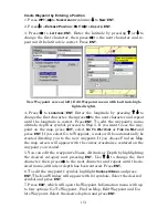
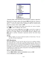
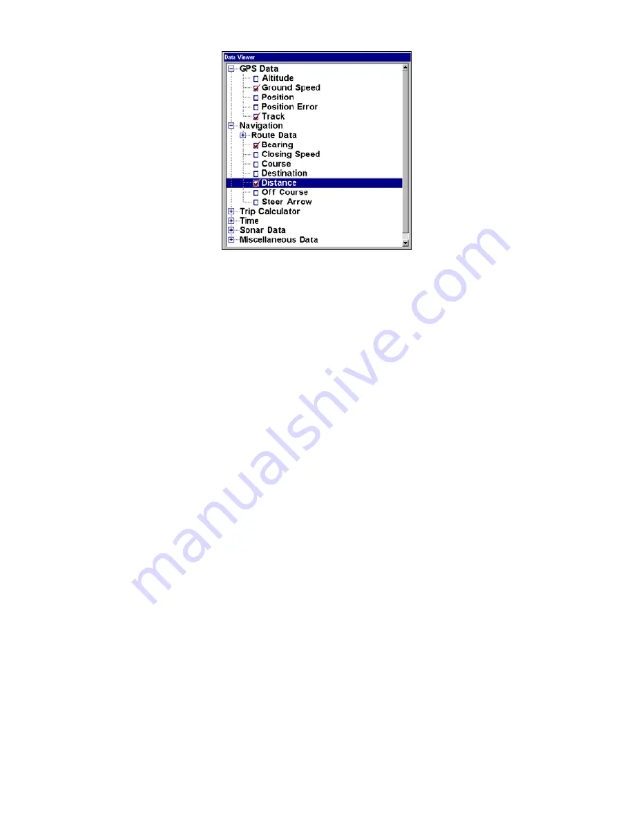
Customize Menu, with "GPS Data" and "Navigation" categories expanded.
Selecting the category name and pressing
ENT
will show the category's
contents, so you can choose items within it. An expanded category (one
with a "–" next to its name) can be collapsed to hide its contents. Just
select the category name and press
ENT
.
3. Expand any categories that might contain data you want to display.
Press
↓
↑
to select a different data option.
4. With the new option highlighted, press
ENT
to switch the contents of
the box to the new data type and press
EXIT
. You can now select an-
other box to change. When you are finished with the settings, press
EXIT
again to end the Customize command, and the box name stops
flashing.
NOTE:
A Page display can show a limited number of data boxes. You can
not add or remove data boxes.
GPS Simulator
The GPS simulator lets you use the unit as if you were outdoors navigat-
ing somewhere. It's a great way to practice using your unit. You can set
the starting location by entering latitude/longitude (Starting Position) or
from a stored waypoint, map place or POI. You can steer your position
and change speed on the map by using the arrow keys (
S
TEER WITH
A
RROWS
command) or by setting the track and speed in the dialog boxes provided
on the simulator menu screen.
To turn on the GPS Simulator:
1. Press
MENU
|
MENU
, highlight
S
YSTEM
S
ETUP
and press
ENT
.
2. Select
S
IMULATORS
and press
ENT
.
Summary of Contents for LMS-520C
Page 10: ...viii Notes ...
Page 22: ...12 Notes ...
Page 56: ...46 Notes ...
Page 114: ...104 Notes ...
Page 202: ...192 Notes ...
Page 216: ...206 Notes ...
Page 246: ...236 Notes ...

