12
OPERATION
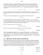
• LAI: Area of leaves per unit area of soil surface.
• χ
: Ratio of projected area of an average-canopy element on a horizontal plane to its
projection on a vertical plane.
•
F
b
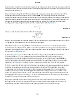
: Ratio of direct beam radiation coming directly from the sun to radiation coming from all
ambient sources.
•
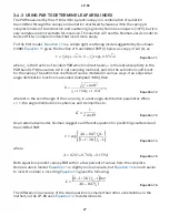
z
: Angle the sun makes with respect to the zenith (point in sky directly overhead).
• Latitude: Latitude location in degrees.
• Longitude: Longitude location in degrees.
• Segment 1-8 PAR: Individual PAR readings from each of the eight segments.
• External Sensor PAR: PAR reading from the external sensor.
• Record ID (RID): Unique identifier for each record.
• Raw Record ID: RID of the first raw record associated with the summary record. Any
record between the RawRID and the RID of the summary record is also associated with the
summary record.
Data can also be downloaded through the LP-80 or a terminal program, if the LP-80 Utility is
not functioning properly. Contact
for more information.
2.6 ERASING DATA
Data can be erased using the LP-80 or the LP-80 Utility. Data cannot be erased one
measurement at a time. This feature erases all data from the LP-80 permanently and it
cannot be recovered!
WARNING: Once data has been erased, it cannot be recovered.
To erase all stored data from LP-80:
1. Press
MENU to navigate to the Data tab.
2. Use
UP or DOWN to highlight
Erase
.
3. Press
ENTER.
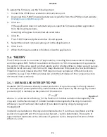
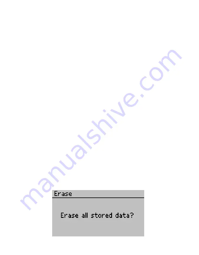
The following warning will appear (
).
Figure 15 Warning confirming to erase all stored data


