4.
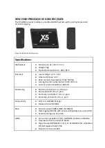
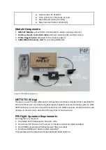
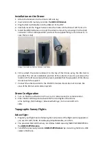
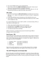
Turn on your Phantom 4 Pro v.1/v.2 or Advance Drone.
5.
Wait for the red LED of the
GNSS X5 PPK Module
light to be ON. It takes around
30 seconds to automatically start recording the data log file.
6.
Once these
verifica
tions and recommendations have been made, you can now
proceed to
fl
y the Drone and capture the flight mission photos.
After Flight:
1.
By the end of each flight,
the
GNSS
X5 PPK Module
will already have recorded one
UBX file, so it is ready to be powered OFF without the need of stopping the
recording.
2.
All data logs (UBX files) are automatically saved in the MicroSD memory card.
3.
The data logs can be downloaded by extracting the MicroSD memory card or via WiFi
in the configuration mode.
As a result of the flight session and in order to perform a correct processing in PPK, you
must obtain the following data set:
1.
Photos captured by the Phantom 4 Pro v.1/v.2 or Advance
2.
RAW LOGS UBX of the
X5 GNSS
module of each
fl
ight performed
3.
RAW LOGS (UBX or RINEX) from a ground-based GNSS receiver
4.
List of Ground Control Point coordinates
With this information, you will be ready to process the data through
different
photogrammetric software options.
Post Process - PPK
The final PPK (Post Process
ing Kinemati
c) mapping workflow can be performed using
the
following software options. Each of them has its own steps to follow at the user choice.
This is a list of post-processing programs according to th
eir degree of difficulty and
knowledge requirement in topography:
1.
Toposetter 2.0 Pro (Trial Version / Paid Version)
2.
REDtoolbox
(Trial Version / Paid Version)
3.
RTKLIB
(Free Version)
4.
Emlid Studio
(Free Version)
Once the information is processed, you can import the image set into any mapping
software, such as Agisoft Metashape, DroneDeploy, Pix4D and others of your choice.
The UAV PPK App for event interpolation
The best online App for UAV PPK Event Interpolation. Corrects the millisecond difference
between the DJI drone's camera trigger, the Drone´s indicator LEDs and the event capture
in the GNSS X5 PPK Module for maximum accuracy, so ground control points are no longer
needed.


