Chapter 11 myDatanet server
4
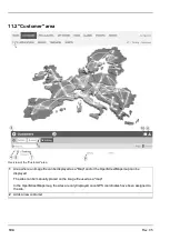
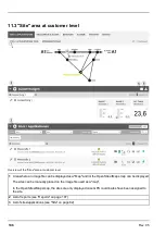
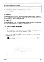
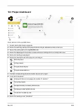
Symbol that represents a site on the "Map"
5
Symbol via which a OpenStreetMaps map, on which the sites are displayed, can be loaded. (see "Map
view" on page 107)
6
Symbol via which an image file can be loaded on to the server as a "Map"
To remove the "Map" again, open the upload dialogue again and click on "Submit" without selecting an
image file beforehand.
11.3.1 Reports
The reports provide a variety of options to display graphs of the data on the web interface of the myDatanet
server or to download the data from the myDatanet server. Detailed instructions on creating and handling the
reports is provided in myDatanet Server Manual (805002).
11.3.2 Map view
The map view provides an overview of the geographic position of the sites. Detailed instructions on operating
and configuring map view are provided in myDatanet Server Manual (805002).
11.4 Recommended procedure
11.4.1 Creating the site
Note:
Some of the fields mentioned in the following chapters may be hidden depending on the respective user
level. In this case, please contact the administrator of the myDatanet server.
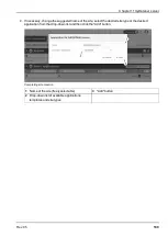
Detailed instructions on creating a new site are provided in myDatanet Server Manual (805002).
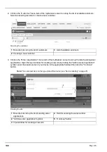
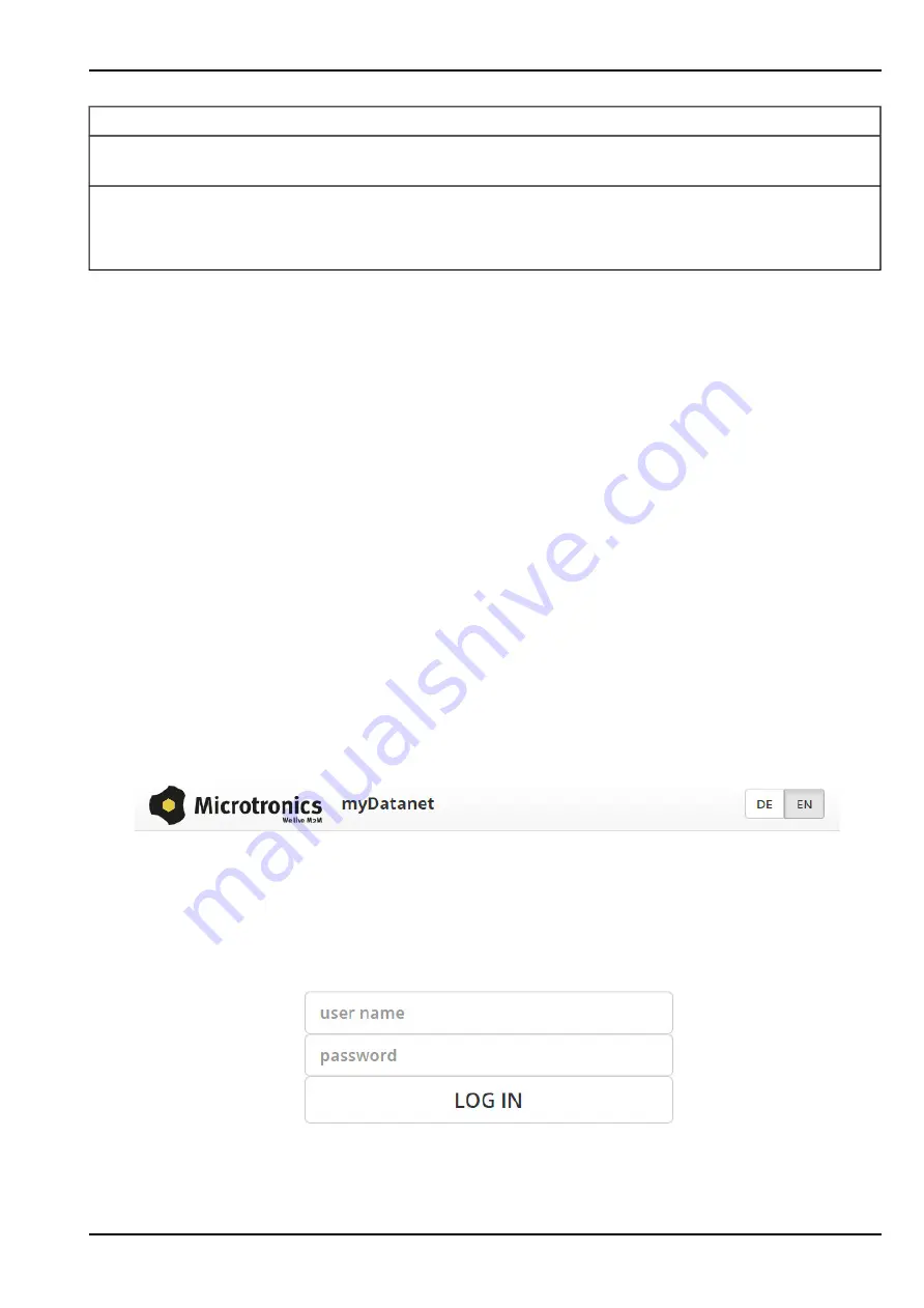
1. Log in via the web interface on the myDatanet server. You will receive the web address from your
responsible sales partner.
Login form of the myDatanet server
Rev. 05
107
Summary of Contents for myDatalogEASY V3
Page 2: ......
Page 13: ...Chapter 2 Declaration of conformity Chapter 2 Declaration of conformity Rev 05 13 ...
Page 14: ......
Page 42: ......
Page 76: ......
Page 88: ......
Page 102: ......
Page 110: ......
Page 116: ......
Page 234: ......
Page 244: ......
Page 252: ......
Page 254: ......
Page 266: ......
Page 276: ......

