Map
17
MBTile
overlay
Satellite
display
Viewing Map Overlays
MBTile
loading
Changing Maps
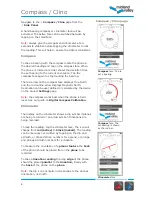
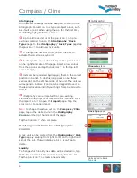
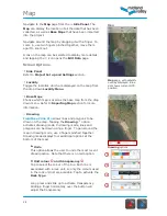
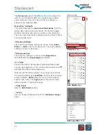
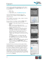
Maps will show either the satellite or the road map of the
current area. To change the map display, touch the
Maps
icon and select the map so that it has been ticked. This
chosen map will now display in the
Map
page over the
iPhone’s default map.
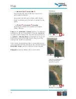
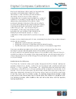
You can also import your own overlay map using MBTiles
files (see below). The imported maps will show in this list
and you can tap a filename to select it. Only one overlay
map can be displayed at a time. Overlay maps will be
displayed over either the satellite or the road map (which
ever was active last).
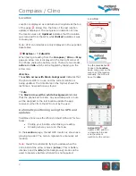
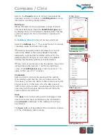
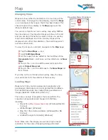
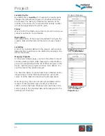
To view the image in a project, navigate to the
Map
page:
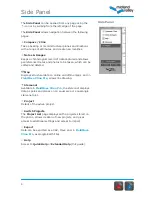
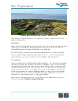
Tap the
Base
Maps
icon.
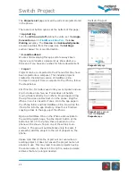
Select
Edit Base Maps
.
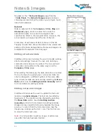
All the maps that are added to the FieldMove Clino
Documents
folder, via iTunes, will be listed here as
New
Maps
.
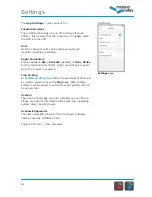
Tap on the icon to add the selected map to the
current
Project Map
List
.
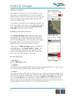
Tap on the icon to add maps to the
New Maps
list
from iTunes.
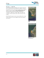
If you tap on the currently active overlay map, the map
view will zoom to fit the extents of that overlay.
Loading Maps
Maps (which may contain geological, topographic and
geophysical information) can be imported into FieldMove
Clino as MBTiles which are created from georeferenced
images (GeoTIFF, JPEG 2000, KMZ etc.).
There are a variety of programs that can perform the
conversion of georeferenced images into MBTiles,
including:
• Move2014 (
http://www.mve.com
) [Windows/Mac OS
X/Linux]
• Global Mapper [Windows]
• Map Tiler (free demo available) [Windows/Mac OS
X/Linux]
• Arc2Earth plugin for ArcGIS [Windows]
Note:
Make sure the image you use has a high enough
resolution for the scale of mapping being performed.
Summary of Contents for FieldMove Clino
Page 1: ......


