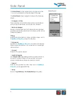
Definitions
4
Terms used in FieldMove Clino
Project
A project is a set of localities, structural data, notes and images related to a specific
mapping area. When exporting data it is the whole project that is exported.
Localities
Localities are a way of grouping data and are user definable. For example, localities can be
applied to an outcrop or for a new day in the field.
Stratigraphy
User defined list that is used to assign a colour to structural measurements or line objects
i.e. to define a rock type or a fault. This information is recorded as an attribute on the
object.
Data Type
Defined as planar and linear data. Location can be set automatically using the device GPS.
Comments
These are linked to specific measurements, for example describing in detail the surface
where a dip measurement has been taken from.
Notes
Notes are geo-referenced descriptions, such as a sample location or notable change in
vegetation. This is akin to the notes taken in a field notebook while mapping. Photos may be
added to notes.
Maps
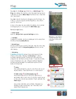
Images can be shown over the online map on the
Map
page. Map overlays can be loaded in
as MBTile files.
Summary of Contents for FieldMove Clino
Page 1: ......


