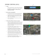
Skylle 1550 User Manual 20181107V2
|30
22
/
31
ROUTE PLANNING
1.
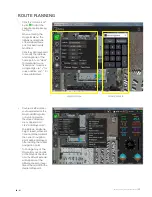
Click the “location icon”
button
to start the
navigation point planning
function.
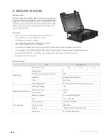
When entering the
Waypoint Menu, the
latitude and longitude
of the displayed home
point can be manually
modified.
Click the virtual keyboard
to modify the latitude
and longitude of the
home point, use “clear”
to delete data, use
“Backspace” to remove
a single digit, use “+” for
value addition, use “-” for
value subtracted.
Waypoint Menu
Virtual Keyboard
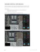
2.
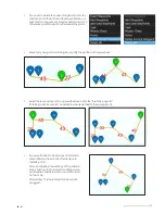
Double-click the location
you have selected on the
map to add Waypoints,
or by a long press on
the screen, drop down
menu appears and
click “Add Waypoints”.
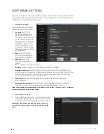
The latitude, longitude,
height, speed, suspension
time and other data of
the current navigation
point will be displayed
after adding the current
navigation point.
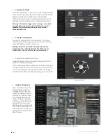
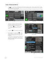
To change any of the
Waypoints, you can click
on the Waypoint Number
and the
Virtual
Keyboard
will appear, set the
altitude, speed, or hover
time of the aircraft for the
desired Waypoint.


