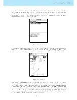
not dened vertex 2 yet. In this case the FAI triangle assistant module considers the current position has
the 2 vertex, and everything is calculated according. From the gure two areas are draw in the task map
which correspond to the areas where vertex 3 can lay in. As the pilot moves around, vertex 2 changes, so
the areas are updated according. Since vertex 2 is not dened yet the Triangle Size data eld shows the
minimum possible triangle distance (7.142 Km).
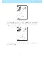
Figure 7.3: Triangle 3
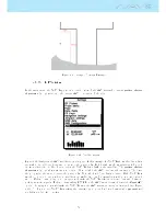
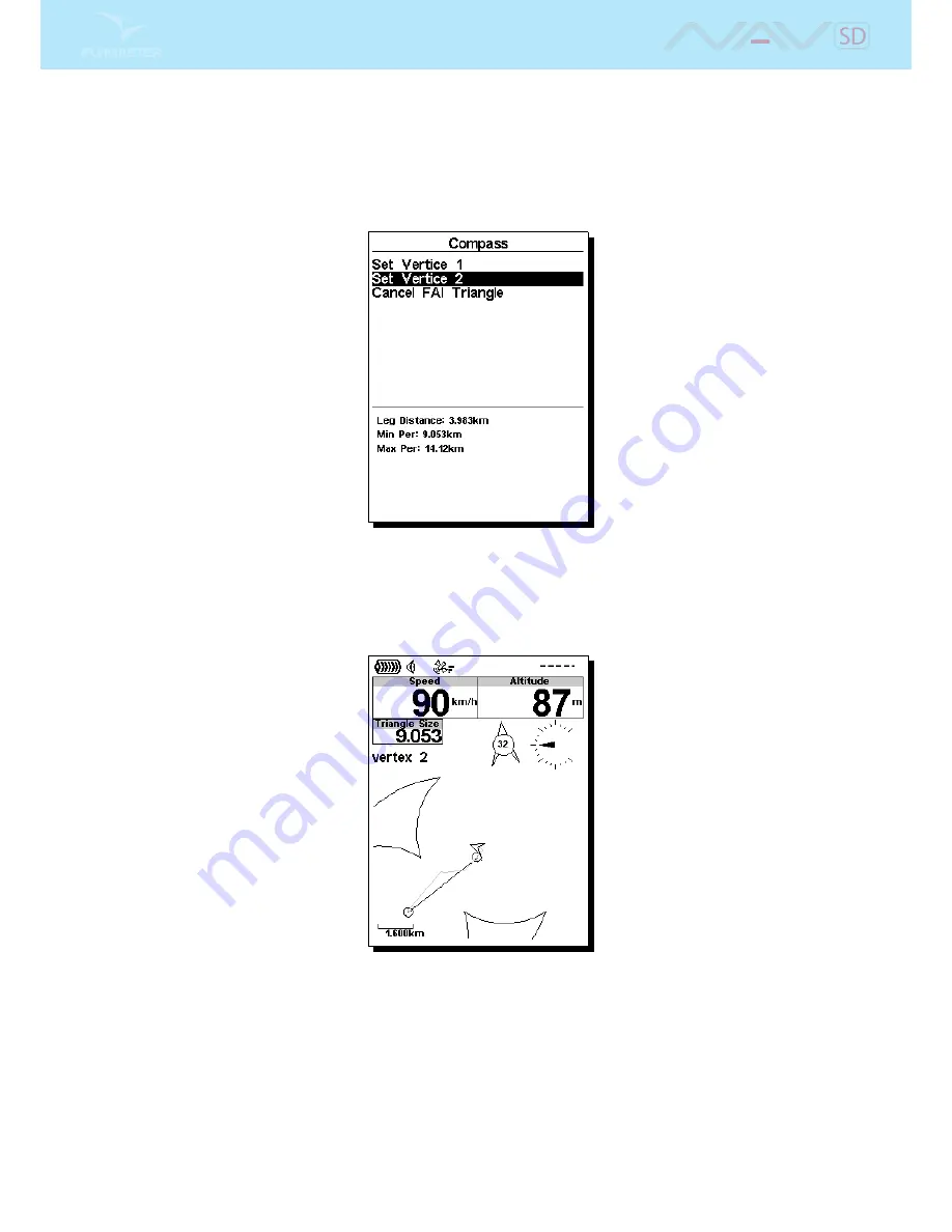
After traveling a few more meters the pilot decides to dene vertex 2 through the FAI triangle management
menu. As can be seen in Figure Figure
7.3
at the current position the base leg has 3.983 Km, and the
minimum, and maximum possible triangle distances are respectively 9.053 Km, and 14.12 Km.
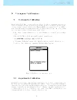
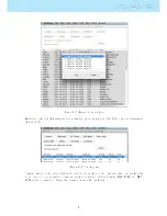
Figure 7.4: Triangle 4
In the example of gure Figure
7.4
the pilot has just dened vertex 2 which is indicated by a circle in the
Task map. As the minimum distance for the second leg was not completed both areas are still present
on the map. Navigation is made through vertex 2, and the Triangle Size data eld shows the minimum
possible triangle size value which is now possible. Note: Both the Vertex 1, and Vertex 2 can be redened
in any moment. Once the minimum distance for the second leg is passed the FAI triangle assistant module
can decide, based on the pilot position, which area the pilot is navigating to. At this moment navigation
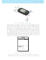
is set to the nearest point from vertex 1, and vertex 2, which satisfy the 28% rule. This is shown on Figure
Figure
7.5
where a line is draw between vertex 2 and such point.
59
Summary of Contents for Flymaster NAV SD
Page 1: ...User manual Version 3 0...
Page 54: ...Figure 4 42 GPS Reset 53...

