32
Further Information
33
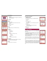
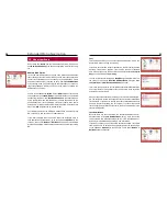
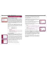
f) please follow the instructions of the update manager. Click on the
corresponding red arrows in the lower right hand corner to proceed or
go back in case you need to make corrections.
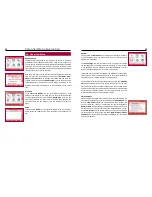
g) In our example you are clicking on the symbol for changing the na-
vigation data base.
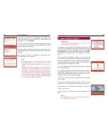
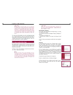
h) Then select the symbol for DVD to SD card transmission: “Get the
navigation data base from the DVD.“
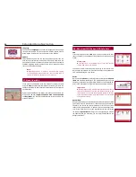
i) After inserting the DVD into the DVD drive (if not inserted already)
and the SD card into the card reader, click Next. You will see a selection
of data bases. Select the data base you wish to install.
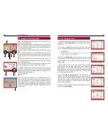
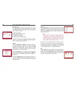
j) After selecting the map pack and then the SD card, a window with a
mask will appear where you have to enter the serial, license, and key
codes. Then copying will start.
k) If you use the NCUM, the map material selected will be saved direct-
ly at the correct place on the SD card.
l) After successful data transmission, insert the SD card into the SD
card reader in the navigation system monitor. Done.
21. How Does a Navigation System Work?
The term “navigation” originates from seafaring. The position of a ship
used to be determined with the help of sextants and the stars. Nowa-
days, the command bridge systems of watercrafts are based on mo-
dern technology – among others the GPS system (Global Positioning
System).
This positioning system is based on more than two dozen satellites in
space. They circle the earth in regular intervals and at constant height
and state their exact position in longitude and latitude in short inter-
vals. If the signals of at least three or four satellites are received, the
exact position can be determined. For a short time, fewer are sufficient
as well.
These systems are used not only in seafaring. The automotive industry
has discovered this powerful instrument to support drivers and offers it
for their own vehicles. However, further developments in the field of
positioning have been necessary.
Another essential factor for safe arrival at the destination are the digital
available road maps such systems work with. Various suppliers in the
market cooperate closely with different manufacturers of navigation
systems. Therefore, the composition and accuracy of data volumes
such a system uses or supplies can vary considerably.
Depending on the equipment of a navigation system even TMC traffic
messages can be processed. This information is used to suggest alter-
native routing to the driver in order to avoid traffic jams or obstacles.
The matching of the received data with the available digital road maps
is complex and demands modern hardware and software. These fac-
tors, together with ease of use, are criteria by which navigation system
suppliers can be compared.

