Chapter 1 - Quick Start
961/962 Operations and Reference Manual, Rev. A
Page 1-23
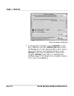
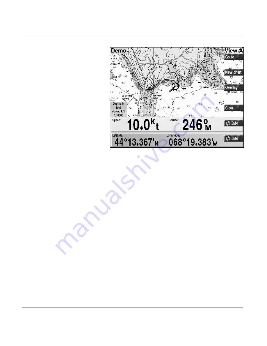
Chart screen with info bars
Each successive press of either
INFO
key shows the present
nav data, in the following order:
1. speed-over-ground and course-over-ground (
SOG
and
COG).
2. lat/lon coordinates (
LATITUDE
and
LONGITUDE
).
3. your preferred GRI (
GRI
) and the best pair of loran
TDs—
only available if you’ve chosen to display position
coordinates as loran TDs at the
CHART SETUP
screen
.
4. active waypoint, if any; distance and bearing to the active
waypoint; cross-track error (
XTE
); estimated time of
arrival (
ETA
); estimated time enroute (
ETE
); and
placement of your vessel relative to the desired track.
5. the name and number of the chart in use, its originator
and manufacturer, source date, and chart datum.
6. if you’re displaying a HCRF chart (Hydrographic Chart
Raster Format), the
INFO BAR
displays the type of chart
series (Navigator or Skipper); expiration date (Navigator
series only); correction level (the Notice to Mariner’s
Summary of Contents for 961
Page 6: ...Page viii 961 962 Operations and Reference Manual Rev A ...
Page 8: ...Page x 961 962 Operations and Reference Manual Rev A ...
Page 14: ...Page xvi 961 962 Operations and Reference Manual Rev A ...
Page 92: ...Chapter 3 Using the Controls Page 3 34 961 962 Operations and Reference Manual Rev A ...
Page 160: ...Chapter 6 Creating Waypoints Page 6 18 961 962 Operations and Reference Manual Rev A ...
Page 176: ...Chapter 7 Creating Avoidance Points Page 7 16 961 962 Operations and Reference Manual Rev A ...
Page 202: ...Chapter 8 Creating Routes Page 8 26 961 962 Operations and Reference Manual Rev A ...
Page 380: ...Glossary Page G 8 961 962 Operations and Reference Manual Rev A ...


