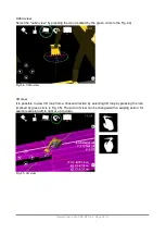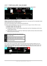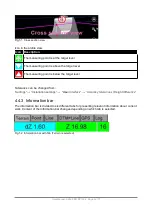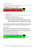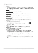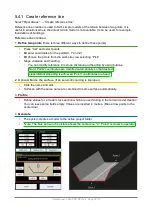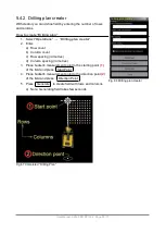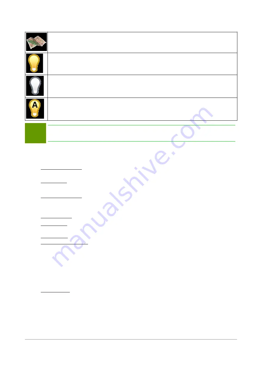
Colour settings detailed:
File/layer is used as an background map
File/layer is always visible, even when layer is not selected
File/layer is always invisible, even if layer is selected
File/Layer is only visible when layer is selected
Note!
It is recommended to have surfaces in
automatic
mode, Lines and Points always as
visible. Background maps as visible when needed.
5.3 Settings
Settings
•
Coordinate System
◦
Load coordinate transformation
,
Edit coordinate offsets
,
Load geoid model
•
GPS control
◦
Novatron GNSS, RTK corrections
•
Installation settings
◦
Various settings:
Positioning, Machine Control, Measures, File import, Data log,
Language, FCL, User Interface, LibConverter config
•
Show Antenna
(For service personnel only)
•
Show status
◦
Status of GPS and COM ports, Geoid Model, global coordinate system
•
Open ini file
(For service personnel only)
•
Flat bucket calibration
◦
In general, a flat bucket is used for levelling a surface. After performing a flat bucket
calibration the buckets bottom real angle can be seen on the display. Calibration also
changes the graphical view to match the real position of the flat bucket.
◦
How to calibrate flat bucket:
▪
Select “Settings” → “Flat bucket calibration”.
▪
Move the bucket to the horizontal plane.
▪
When the bucket is aligned, press OK.
•
Tool Settings
(only graphical, not affecting to any measurements)
◦
Select tool, for example, a different bucket
◦
Enter or change dimensions of the bucket which is used.
User Manual. Xsite PRO SPI 14.2 Page 52 / 77
Summary of Contents for XSITE PRO SPI 14.2
Page 1: ...XSITE PRO SPI 14 2 USER MANUAL Version 1 14 2 46 October 2018...
Page 33: ...Fig 36 Tilt bucket calibration User Manual Xsite PRO SPI 14 2 Page 30 77...
Page 76: ...User Manual Xsite PRO SPI 14 2 Page 73 77...
Page 77: ...User Manual Xsite PRO SPI 14 2 Page 74 77...

