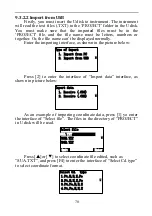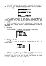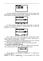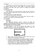
84
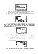
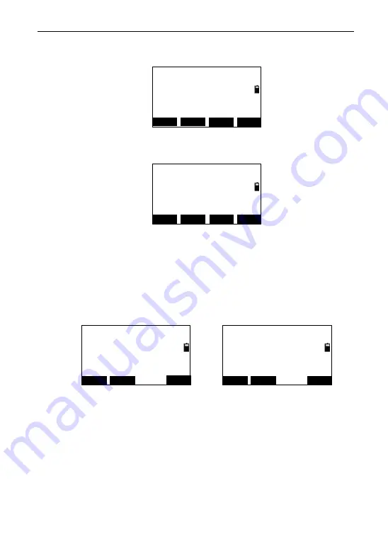
In the interface of ―Setup Baseline‖, press [1](Meas) to enter the
interface of ―Project(Begin)‖,as shown in picture below:
Project(Begin)
HR:
50°02′17″
Mode
Meas
Enter
SD:
m
HD:
m
VZ:
175°13′13″
T.H
Press [Meas] to start measuring, then press [Enter] to enter the
interface of ―Project(End)‖;
Project(End)
HR:
55°53′34″
Mode
Meas
Enter
SD:
m
HD:
m
VZ:
164°21′45″
T.H
Press [Meas] to start measuring, then you can press [Enter] to
return to ―project‖ menu and press [3](Project)(3.Project) to start
projection measurement.
Projection
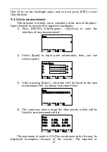
In the project menu, press [3](project) to enter the interface of
―Project-Survey‖; press [Meas] to start measuring. After the
measurement, the deviated length(X), distance(Y) and altitude
difference (Z) are displayed on the screen.
Project-Survey
SD:
166°40′39″
Meas
Turn
HD:
VD:
HR:
0.754
T.H
-0.754
0.002
m
Project-Survey
X:
166°40′39″
Meas
Turn
Y:
Z:
HR:
0.300
T.H
-1.079
-0.002
m
Press [F4](Turn)→
The key [T.H] is used for re-inputting target height; the key
[Turn] using for switching the display between ―X,Y,Z‖ or
―SD,HD,VD‖;
9.4.7 Roadway
See reference in chapter 10. Roadway
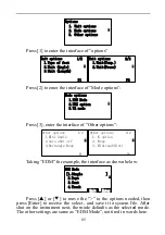
9.5 Options
Menu of options:

