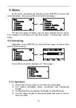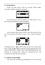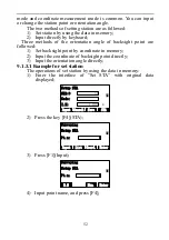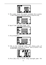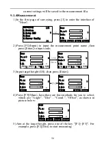
57
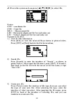
VZ:
HR:
200°54′24″
>Measuring...
SD:
[Sgnl]<<
VD:
m
HD:
90°12′22″
m
m
6)
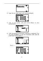
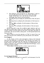
After finishing measuring, press [F4](Yes) with data saved;
VZ:
HR:
200°54′24″
No
>Enter?
Yes
SD:
17.245
VD:
m
HD:
90°12′22″
m
m
17.125
-1.523
7)
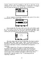
The point name will be added one, and you can measure next
point. You can input name ,code and target height as the same
way and measure as the same way of last point by pressing
[F4](Ditto) or you can press [F3] to select the measurement
methods;
8)
Finishing measurement, the data will be saved and youcan press
[ESC] to exit.
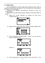
9.2Staking out
Staking out is to find the earth point for the designing point. The
required process of staking out is as followed:
1)
You may select files for staking out .The files can call the
coordinates of station(STA),backsight(BSS) and the
stakeout point etc.
2)
Setup station(STA).
3)
Setup backsight(BSS) to determine azimuth angle.
4)
Input the coordinates of stake-out point, then start to stake
out.
The operation in the menu of staking out :
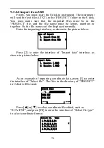
Press the key of [MENU] ,the instrument will enter into the
mode of ―MENU 1/2‖.Press the key of [2](Stake):

