

13
8 NAVIGATION AND ROUTING
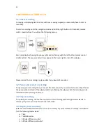
8.1 Route planning (NaviControlCentre software)
Please remind that you have to plan your routes in advance by using the navigation software
NaviControlCentre
which can be downloaded in the software section of the o-synce website. Install
the
NaviControlCentre
software on a personal computer and then connect your NAVI2move
.
Before
being able to use the integrated maps of
Googlemaps
TM
and
Openstreetmap
make sure you are
connected to the internet.
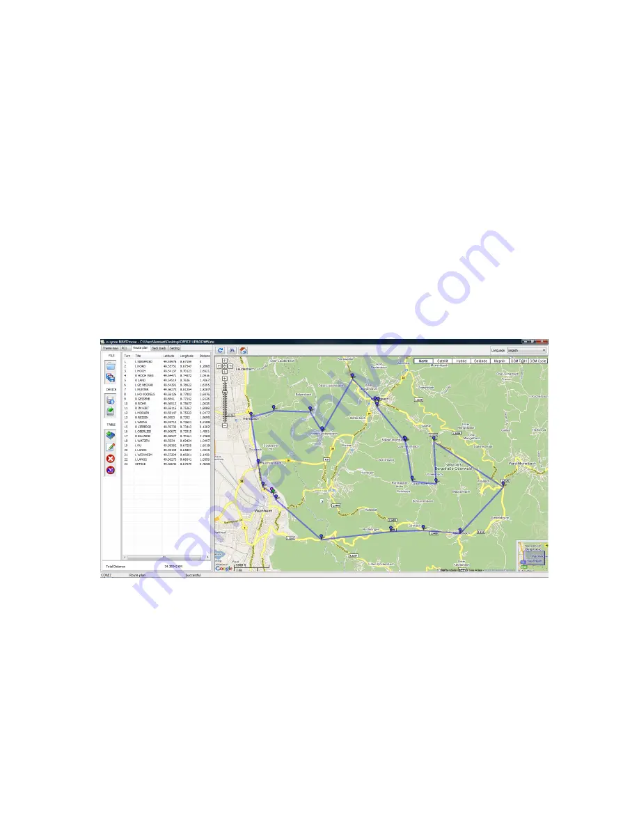
For route planning, select index card "
Route plan
". Now you click into the map window and define
your waypoints. You also may add additional information or a directional arrow to every single
waypoint. The information you enter will be displayed later on your tour. Especially the directional
arrow will help you to exactly detect, into which direction you have to turn at the next waypoint.
We recommend you, to place waypoints only on junctions where you leave your present road or
where you do need some further information. Even though the route planning might seem a little
rough and is not always following the exact path (for example in serpentines), the planning is much
more effective if you just rely on waypoints where you really have to turn.