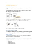

5
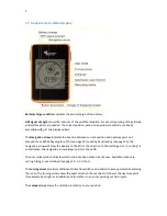
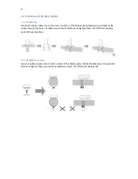
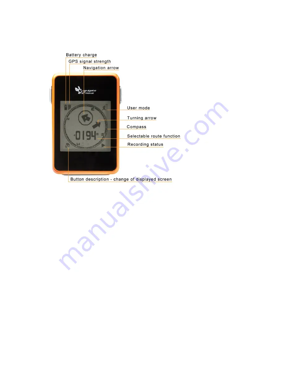
1.7 General view of the display
Battery charge condition
indicates the actual charge of the battery.
GPS signal strength
shows the intensity of the satellite reception. For exact measuring of the altitude
at least three bars are needed. The correct position, based on approximate altitude, is already
accessible with just two displayed bars.
The
Navigation arrow
indicates the bee line between current position and next waypoint on a
planned route. While heading for a POI (see page 12) or during backtracking (see page 12), the
navigation arrow will show the beeline to the POI or the direction to the starting point. If „routing
“
is
not activated, the navigation arrow always points to the north.
The user mode symbol indicates which mode has been chosen by the user. Available modes are
cycling, hiking or user-defined (see page 10 - 3.2.5 Tour).
The
turning arrow
provides additional information which can be added to a way point while planning
the route. The turning arrow shows the exact direction the user has to follow at the next way point
(for example bear right as an additional information to an arrow pointing out hard right).
The
compass rose
shows the direction in relation to your position.