4 - 21
Navigation
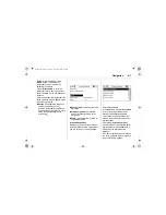
Time
/
distance to destination /
arrival time
or
journey time /
exterior temperature
On the menus, the menu name
appears in the top line.
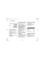
On the map display the route
guidance is displayed as a blue route.
The starting point is displayed as a
red triangle, the destination as a
chequered flag.
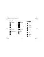
Symbols along the route indicate
traffic information and general
information or points of interest.
Overview of the symbols
3
4-26.
Map scale
Change the map scale in the
navigation display by turning the
multifunction knob.
The scale is displayed in the top line
of the display.
The map display changes
automatically to the North Up format if
the scale is set to greater than or
equal to 20 km.
DVD800.book Page 21 Tuesday, August 26, 2008 1:51 PM
Summary of Contents for DVD 800
Page 2: ...DVD800 book Page 2 Tuesday August 26 2008 1 51 PM...
Page 6: ...1 4 Introduction DVD800 book Page 4 Tuesday August 26 2008 1 51 PM...
Page 8: ...1 6 Introduction DVD800 book Page 6 Tuesday August 26 2008 1 51 PM...
Page 10: ...1 8 Introduction DVD800 book Page 8 Tuesday August 26 2008 1 51 PM...
Page 61: ...4 29 Navigation Smog Snow Storm DVD800 book Page 29 Tuesday August 26 2008 1 51 PM...

