v1.32
March 2014
43 of 90
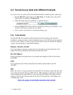
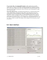
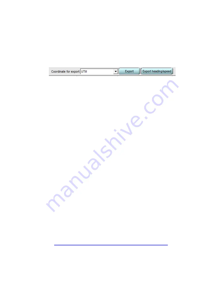
5.2 Convert your data into different formats
You may convert your data into several different formats by following these quick steps:
1.
Open
Collar SW
, and navigate to the
Data Page
by clicking on the icon on the
home screen on clicking on the
Data tab
.
2.
Select the format that you would like to export the data to.
3.
Press the
Export
button. The software will then ask where you would like to save
the file. You can save it wherever you choose.
4.
After you have saved the file it will automatically open.
5.2a Data formats
The default TSD file contains the GPS positions recorded in latitude and longitude
formatted in degrees, minutes, and seconds (dd:mm:ss.ss). This TSD file can be exported
into easy to use formats, so that you may easily import it into your current GIS/ mapping
system. All lat/long data is in the WGS84 format.
Degrees, minutes, seconds
The export degrees, minutes, seconds file will not include as much information on the
header. It will only include the column titles and the data itself.
Decimal Degrees
When exported into decimal degrees your latitude and longitude will be in this format:
dd.dddddd.
UTM
The exported data for UTM is formatted in the North American Datum of 1983
(NAD83).
KML
KML files are for viewing your data in Google Earth. Our software exports this data with
every point connected with lines. KML files use XML language to organize the data that
will be displayed in Google Earth. You may open this file with any text editor to make
changes to how the data is represented on the map. For instructions on the changes you
can make please visit:
http://code.google.com/apis/kml/documentation/kml_tut.html
Summary of Contents for 4000 Enhanced
Page 90: ...v1 32 March 2014 90 of 90...


