Rand McNally Foris
TM
User Manual
15
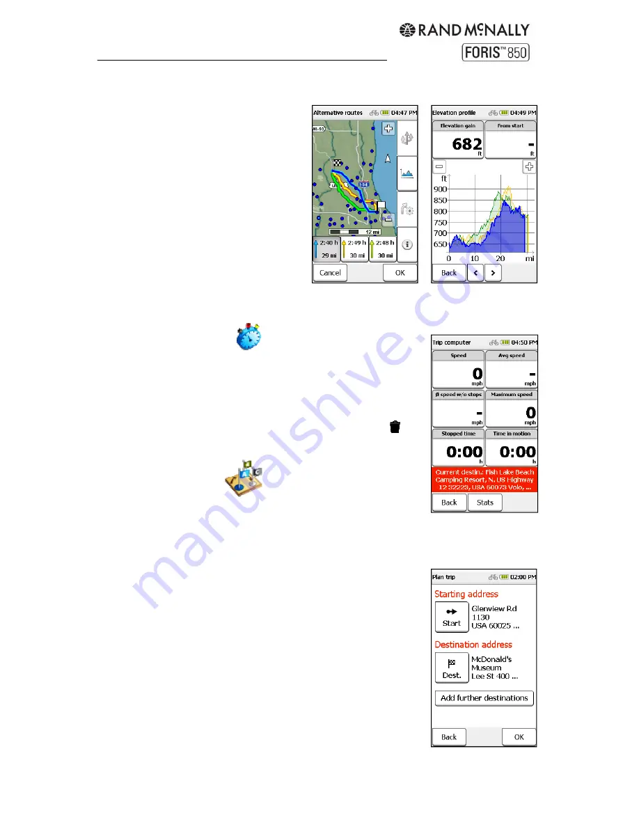
Alternative routes and elevation profiles
Alternative routes are shown in different
colors on the map. Select a route from the
boxes at the bottom of the screen to view
information about that route.
The elevation profiles are color-coded to
the routes. Use the
<
and
>
arrows to
switch between them. Each is plotted by
distance on the X axis and elevation on
the Y axis. Use the plus and minus
buttons to adjust the scale.
Tip:
Zoom in closer to identify more
details in the altitude profile. Tap on the
graph to view more detail about that point
on the route. Tap the info boxes above to select different information to display.
4. Trip
computer
The trip computer displays data about the current trip. The default
view displays six different statistics. Tap any field to select different
information to display. The red box at the bottom shows the
destination.
Tap "Stats" for further information about the current trip. Tap
to
reset all values.
5. Trip
manager
Enter destinations in the trip manager to:
Enter a starting point that is different from your current
GPS location
Use the Loop Me! feature (see below)
Enter a multi-stop trip
Run a demo of the route (not available for Loop Me! or
multi-stop trips)
Save
trips
5.1 Create new trip
Tap "Trip Manager" and "Plan trip."
The default starting point is your current location. To enter a
different starting point, tap "Start" and choose an address or other
location.
Tap "Destination" and follow the steps to select. Then tap "OK."
(See Chapter 3 for more information on destinations.)
Tap "OK" to begin the route calculation.
Summary of Contents for Foris 850
Page 1: ...User Manual ...


