Rand McNally Foris
TM
User Manual
29
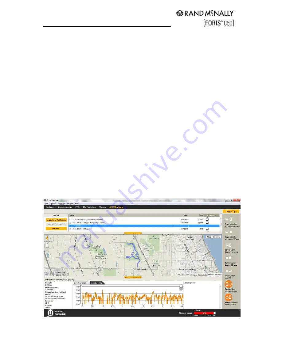
When Trailhead starts, it searches your computer and any connected Rand McNally GPS
device for GPX files and shows them in a list. You can control what directories are searched
under the Options menu at the top. The Storage Location column shows whether the file
was found on your PC, or on your GPS device.
To view the GPX files on a map, simply select an item in the list. If it is a track, tap the “+” to
see the detail. You can then select any detail item to not only see the location of the track,
but the speed and altitude along any portion. Simple tap on any portion of the track on the
map, and see the corresponding speed or altitude on the tabs below the map.
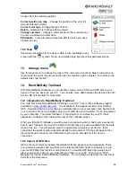
You can also copy or delete the GPX files by highlighting the selected item next to the “+”,
rather than the detail underneath. Select the detail under the “+” to see speed and altitude,
but select the “+” summary to see the possible options shown by the orange circle icons on
the right.
GPX files on the map view
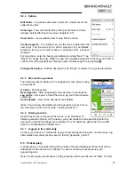
In the GPX manager, you can display waypoints, tracks and geocaches that you have
created yourself. The map can be moved using the arrows and the hand icon. The zoom
level of the map can be changed with "+" and "-". Viewing options such as satellite and map
are located at the top right-hand edge of the map view screen.
In the bottom section of the GPX manager, you can display the altitude and speed profiles,
length, time and description of tracks and waypoints. If no information exists in relation to
this, the detailed view remains empty. If no actually required time exists, the anticipated
required time is calculated based on the average speeds for cyclists and pedestrians which
exist in the navigation device
Summary of Contents for Foris 850
Page 1: ...User Manual ...


