background image

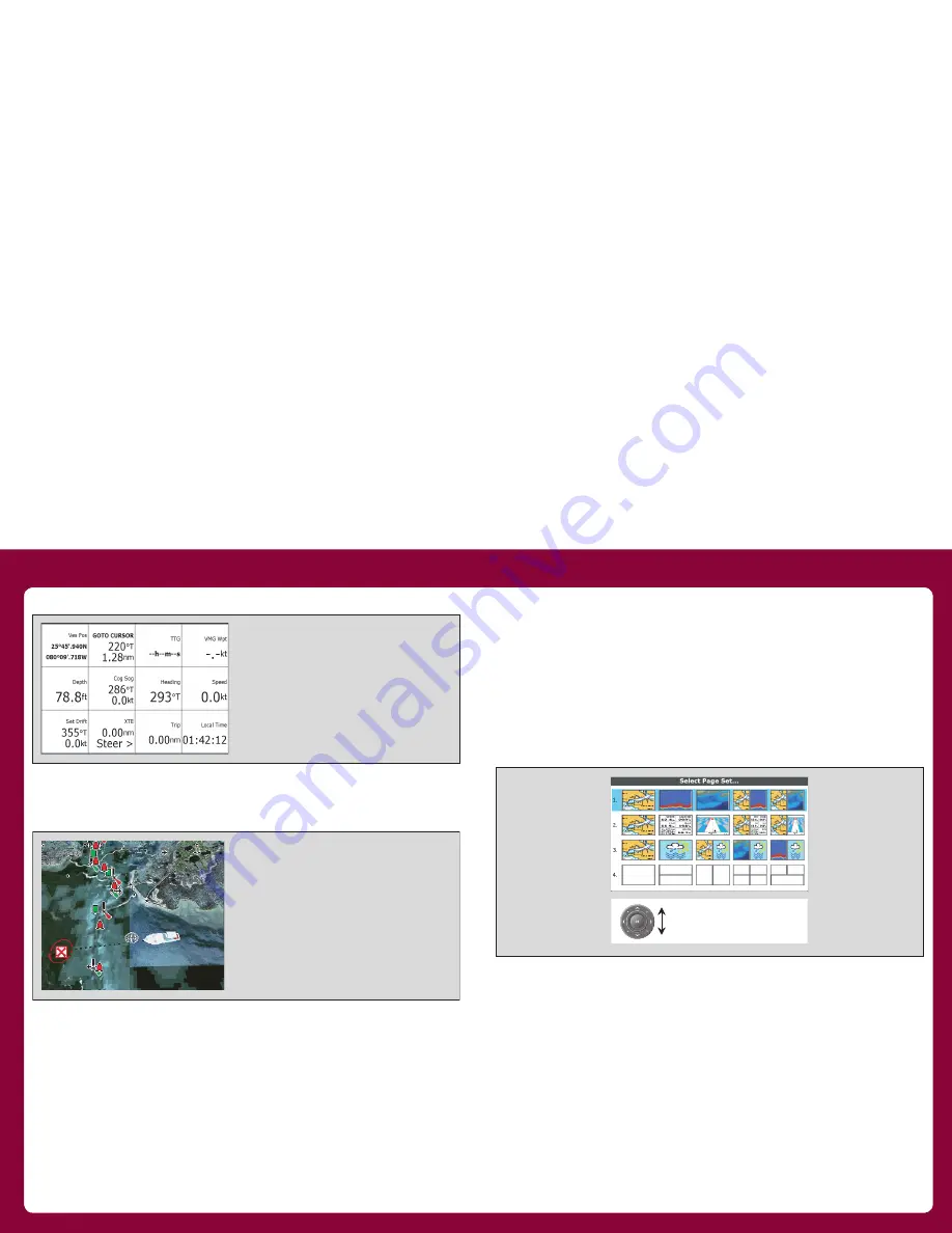
Data

3d chart

Requires upgraded cartography (chart card).

Displaying applications

The various applications that make up your A-Series system are 
arranged in groups called page sets.

Selecting a page set

To select a page set:

1.  Press and hold the 

PAGE/MENU 

key to display the setup menu

2.  Choose the 

Select Page Set

 option.

Selecting an application page

Once you have selected the appropriate page set, as detailed above, 
choose the application page that you want to use.

To view an application page:

1. Press 

PAGE/MENU

 to show the available pages in the toolbar.

2. Either select the application page you want from the toolbar or 

toggle between the applications configured in the page set by 

pressing 

PAGE/MENU

.

3. Press 

OK

 or 

CANCEL

• 

View data generated by the system or by  

  instruments available on NMEA 0183,    
  NMEA 2000 or SeaTalk

ng

.

D9520-1

• 

Display a 3D view of land, sea & features.

• 

Locate where you are.

• 

Interpret your surroundings.

• 

Monitor where you are going.

• 

Go to an existing waypoint.

• 

Navigate a route.

• 

Synchronize with the 2D chart.

• 

Identify fishing spots.

Highlight appropriate
pre-configured page set

Summary of Contents for A Series A50

Page 1: ...al data including any safety messages e g those received from AIS To turn the simulator ON or OFF 1 Press and hold the PAGE MENU key to display the setup menu 2 Use the trackpad up down keys to select...

Page 2: ...e Data base lists Contain information you have added to the display s memory e g waypoints Highlight an entry using trackpad or rotary control to display related information Editable using soft keys P...

Page 3: ...d to return to the previous softkey or menu level WPTS MOB Press and release to display the waypoints softkeys Press again to place a waypoint at your boat s position Press and hold to place a Man Ove...

Page 4: ...e RANGE button to change the scale of the viewable area Press IN to see a smaller area of the screen in more detail large scale Press OUT to see a greater area of the chart small scale Display lightin...

Page 5: ...oint Build and navigate routes View details of nearby features services View details of boats equipped with AIS Measure distances and bearings See where the fish are Identify underwater objects View s...

Page 6: ...hat you want to use To view an application page 1 Press PAGE MENU to show the available pages in the toolbar 2 Either select the application page you want from the toolbar or toggle between the applic...

Page 7: ...n overboard MOB or to sound an alarm when a particular situation occurs e g when a depth limit is reached or a specified period of time has elapsed Man overboard If you lose a person or object overboa...

Page 8: ...the alarm To cancel an alarm 1 Press the ACKNOWLEDGE softkey Raymarine plc Anchorage Park Portsmouth Hampshire PO3 5TD United Kingdom Tel 44 0 23 9269 3611 Fax 44 0 23 9269 4642 Raymarine Inc 21 Manc...

Reviews: