G-Series Reference Manual
18
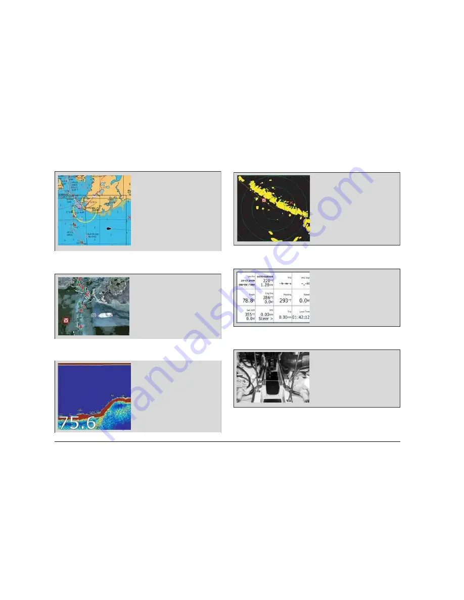
Chart
3D chart
Fishfinder
Radar
Data
Video
D9519-1
•
Locate where you are
•
Interpret your surroundings.
•
Monitor where you are going.
•
Record where you have been.
•
Navigate to a specified position (waypoint).
•
Build and navigate routes.
•
View details of nearby features & services.
•
View details of boats equipped with AIS.
•
Distinguish between fixed & moving objects.
•
Measure distances and bearings.
D9520-1
•
Display a 3D view of land, sea & features.
•
Locate where you are.
•
Interpret your surroundings.
•
Monitor where you are going.
•
Go to an existing waypoint.
•
Navigate a route.
•
Synchronize with the 2D chart.
•
Identify fishing spots.
D9521-2
•
See where the fish are.
•
Identify underwater objects.
•
View seabed structure.
•
View sea depth and temperature data.
•
Mark points of interest, like fishing spots or
wrecks.
D9525_1
•
Detect landmasses & navigation markers.
•
Detect and measure the range and distance
of other vessels.
•
Acquire targets and track them for collision
avoidance.
•
Navigate to a specified position
(waypoint).
•
View details of boats equipped with AIS.
D9527-1
•
View data generated by the system or by
instruments available on NMEA 0183,
NMEA 2000, J1939, SeaTalk or SeaTalk
2
.
D9528-1
•
View video images from on-board CCTV
cameras, DVD or video player.
Summary of Contents for GPM400
Page 1: ...G Series Systems Reference Guide...
Page 2: ......
Page 3: ...G Series System Reference Guide Document Number 81276 1 Date June 2007...
Page 8: ...G Series Installation Commissioning 8...
Page 12: ...G Series Reference Manual 12...
Page 20: ...G Series Reference Manual 20...
Page 34: ...G Series Reference Manual 34...
Page 89: ...89 Chapter 7 Autopilot Integration...
Page 90: ...G Series Reference Manual 90...
Page 110: ...G Series Reference Manual 110...


