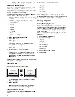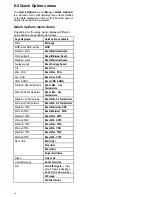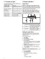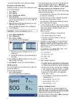
1 Point Speed Calibration
For most installations a 1 Point Speed Calibration is
all that is required.
Prerequisites:
• For best results SOG data should be available, or
an alternative method of estimating vessel speed
must be used (e.g. vessel speed can be estimated
using
Nautical Measured Mile Markers
or similar
landmarks of a known distance apart).
• You will need to be underway, with sufficient space
to maneuver unhindered.
• In order to achieve accurate results, water
conditions must be calm with zero tide and zero
current.
From a favorite page:
1. Select
Menu
.
2. Select
Set-up
.
3. Select
Transducers Set-up
.
4. Select
Continue
.
The instrument display will search for and display
a list of connected devices. (i.e. iTC-5, DST or
transducer pod)
5. Select the device that the transducer(s) you are
calibrating are connected to.
A list of available transducer data is displayed,
6. * Select
Speed
.
Important:
* Step only applicable to iTC-5.
7. Select
Speed Calibration
.
8. Select
Adjust speed up/down
.
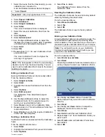
The 1 Point Speed Calibration page is displayed.
1.
SOG speed reading
2.
Current speed reading
If SOG is not available then the SOG value will
display dashes.
9. Accelerate your vessel to a steady, typical
cruising speed.
10. Use the
Up
and
Down
buttons to adjust the
current speed reading so that it matches the SOG
reading or matches your estimated speed.
11. Select
Done
when both values are the same.
The calibration complete page is displayed.
12. Select
Ok
.
If you experience significant deviation between SOG
and log speed readings at different vessel speeds
then a Speed Run Calibration should be performed.
Refer to the
Performing a Speed Run Calibration
using SOG
section for details.
Nautical measured mile markers
When neither SOG data or any other reliable means
of estimating Speed Through the Water (STW) is
available, Nautical Measured Mile Markers can
be used to help calibrate Log Speed. Nautical
measured mile markers are identified by two pairs of
posts or towers. The distance between each pair of
markers is 1 nautical mile.
Each marker in a pair is separated by distance and
elevation from its partner. The front marker is closer
to the water and shorter than the marker behind it.
Markers — side view
1.
Front marker
2.
Rear marker
When the 2 markers appear vertically aligned
the vessel is on the correct range line to begin a
measured mile run.
Marker alignment
1.
Left of range line
2.
On range line
3.
Right of range line
The vessel should already be at top speed and as
the first pair of markers appear aligned a stopwatch
should be started, when the vessel passes the
second pair of aligned markers the stopwatch is
stopped.
44


