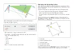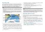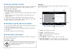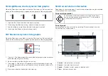
•
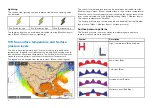
[Storm tracks]
— For details refer to:
p.241 — Storm cast and Storm tracks layers
•
[Surface pressure]
— For details refer to:
p.240 — Sea surface temperature and Surface pressure layers
•
[Surface observation stations]
— For details refer to:
p.239 — Cities and Surface observation stations layers
•
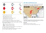
[Wind]
— For details refer to:
p.242 — Wind and Watchbox layers
•
[Watchbox]
— For details refer to:
p.242 — Wind and Watchbox layers
•
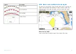
[Wave height]
— For details refer to:
p.243 — Wave direction, wave height and wave period layers
•
[Wave period]
— For details refer to:
p.243 — Wave direction, wave height and wave period layers
•
[Wave direction]
— For details refer to:
p.243 — Wave direction, wave height and wave period layers
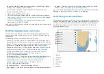
17.5 Animated weather
In weather mode you can play weather animations of historical weather radar
data and forecasted wind, wave and surface pressure data.
Weather animations can be accessed in weather mode by selecting
[Animate
weather]
from the menu.
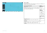
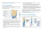
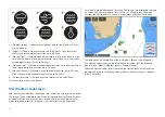
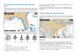
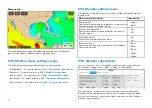
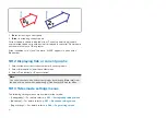
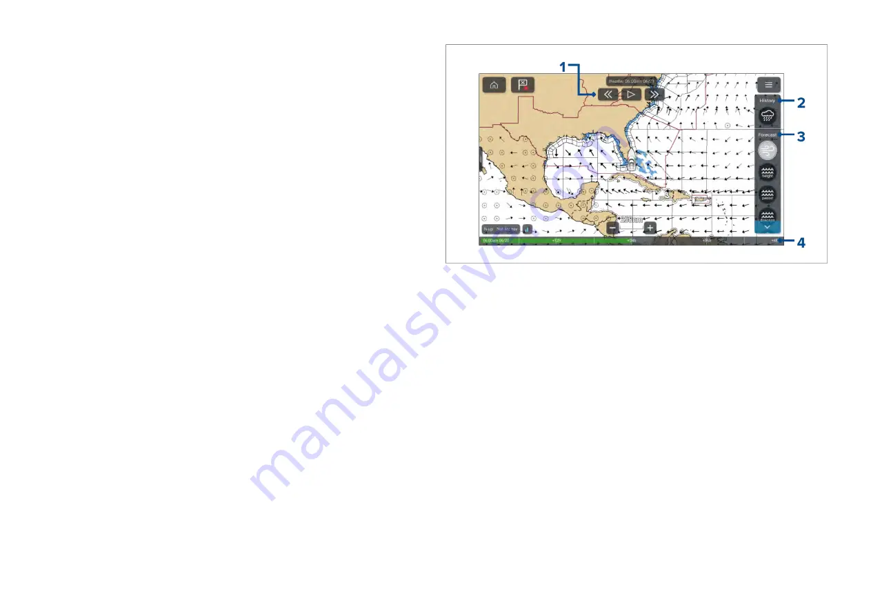
When animate weather is selected the player controls and symbols
representing weather layers are displayed.
1.
Player controls.
2. Historical data animation is available for the weather radar layer.
3.
Forecasted data animation is available for wind, wave and surface
pressure layers.
4.
Animation progress bar.
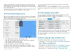
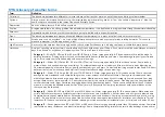
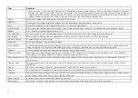
Animated weather layers
Animations are available for the following layers: Selecting a symbol will
display the animation for that layer.
237
Summary of Contents for LIGHTHOUSE 4
Page 2: ......
Page 4: ......
Page 20: ...APPENDIX C HARDWARE AND SOFTWARE COMPATIBILITY 478 APPENDIX D DOCUMENT CHANGE HISTORY 480 20...
Page 414: ...414...
Page 451: ...4 Select Delete again to confirm 5 Select OK YachtSense ecosystem 451...
Page 484: ......
Page 503: ......

