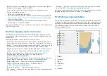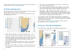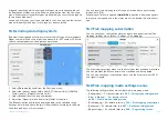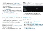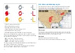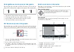
1.
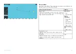
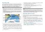
[Weather radar]
— Historical precipitation data for the previous 2 hours
can be played.
2.
[Wind]
— Offshore wind forecast for up to 48 hours. High resolution
coastal and inland wind forecast for up to 24 hours.
3.
[Wave height]
— Offshore wave height forecast for up to 48 hours. High
resolution coastal wave height forecast for up to 24 hours. Great Lakes
wave height forecast for up to 24 hours.
4.
[Wave period]
— Offshore wave period forecast for up to 48 hours. Great
Lakes wave period forecast for up to 24 hours.
5.
[Wave direction]
— Offshore wave direction forecast for up to 48 hours.
Great Lakes wave direction forecast for up to 24 hours.
6.
[Surface pressure]
— Surface pressure forecast for up to 48 hours.
To exit animations open the
[Menu]
.
17.6 Weather radar layer
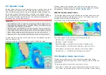
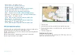
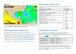
With the weather radar layer enabled a color coded radar image is displayed.
This image shows a complete view of any precipitation across North America,
including the type and intensity. Rain, mixed and snow use different color
scales to identify intensity. A legend is available that can be displayed
onscreen to aid identification of intensity. The images are displayed as pixels
on screen and the resolution of this feature is 2 km per pixel. Coverage
includes the Continental US, Canada, and portions of Mexico/Caribbean.
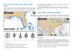
The legend can be enabled from the main menu:
[Menu > Show legend]
.
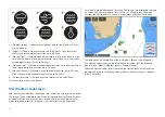
The weather radar layer can be enabled and disabled from the
[Weather
layers]
menu:
[Menu > Weather layers > Weather radar]
.
When the weather radar layer is enabled the transparency of the layer can
be adjusted using the
[Visibility]
setting:
[Menu > Weather layers > Weather
radar > Visibility]
.
238
Summary of Contents for LIGHTHOUSE 4
Page 2: ......
Page 4: ......
Page 20: ...APPENDIX C HARDWARE AND SOFTWARE COMPATIBILITY 478 APPENDIX D DOCUMENT CHANGE HISTORY 480 20...
Page 414: ...414...
Page 451: ...4 Select Delete again to confirm 5 Select OK YachtSense ecosystem 451...
Page 484: ......
Page 503: ......


