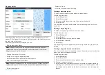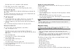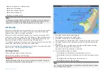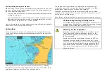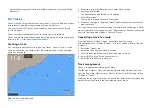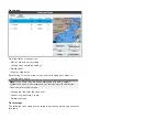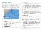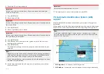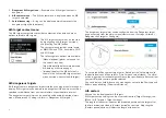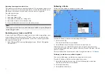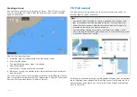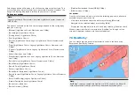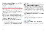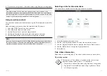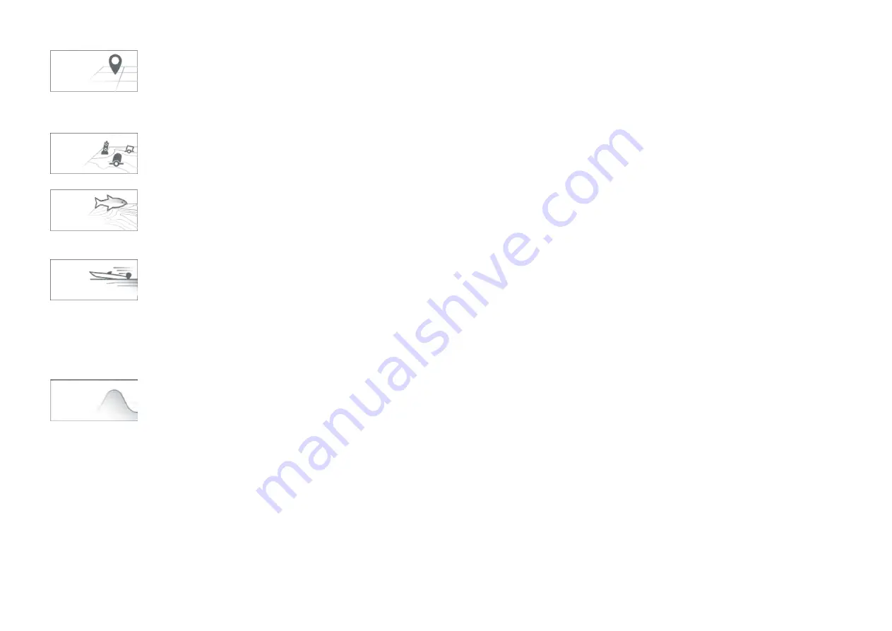
[SIMPLE]
Simple mode suppresses chart detail to provide
a clearer, simpler view for general orientation. In
simple mode only navigation-related menu options are
available. Changes made to settings are not saved in
simple mode.
[DETAILED]
Detailed mode is the default mode. Full chart details
and menu options are available. Changes made to
settings are saved.
[FISHING]
Fishing mode optimizes the Chart app for fishing. If
supported by your cartography, fishing mode also
displays more detailed contour lines. Full menu options
are available. Changes made to settings are saved.
RUNNING
Running mode optimizes the Chart app for fast running.
In running mode, chart detail is suppressed and full
vessel offset is applied. This provides a clearer view
ahead, which is ideal for faster running conditions. Full
menu options are available. The Chart app can be
configured to enter running mode automatically when
vessel speed exceeds 10 knots. Changes made to
settings are saved.
TIDES
In Tides mode, tide and current station icons are
replaced with graphics representing tide and current
conditions. Animation controls are displayed that
enable playback of Tide and Current predictions over a
24 hour period.
Tides mode also suppresses chart detail, to enhance
the tide and current graphics. In this mode, set and drift
vector graphics are displayed on the Chart around your
vessel position.
View and motion
Controls are available which determine how the chart is displayed in relation
to your vessel icon.
Chart motion
Chart motion controls how the chart and boat are drawn in relation to each
other.
The following options are available:
•
[Relative motion]
— In relative motion the vessel icon remains fixed
onscreen and the chart area moves relative to your position. In this mode
you can adjust the fixed position of the vessel icon using the
[Boat position]
setting..
•
[True motion]
— In true motion the chart is fixed and your vessel icon moves
around the chart. As the vessel icon reaches the edge of the screen, the
chart is redrawn to reveal the area in front of your vessel.
•
[Auto range]
— In auto range the largest possible scale is maintained
that will display both your vessel and the destination / target waypoint
simultaneously.
Chart orientation
The orientation of the chart affects the alignment of the chart relative to
either your vessel heading, your course or North.
The following options are available:
•
[North-up]
— In north-up the top of the screen always points towards north.
As your vessel’s heading changes, the vessel icon rotates accordingly.
•
[Head-up]
— In head-up the top of the screen always points towards your
vessel’s current heading, and as your heading changes the chart rotates
accordingly.
•
[Course-up]
— In course-up the top of the screen always points towards
your destination, and as your destination changes the chart rotates
accordingly.
Boat position
The boat position determines the position of the vessel icon onscreen. Your
boat position can only be changed when the
[Chart motion]
setting is set to
[Relative motion]
. You can change the position of the vessel icon to provide a
greater distance in front of your vessel.
The following options are available:
68


