Installation and Operation Manual
21
Sensor information
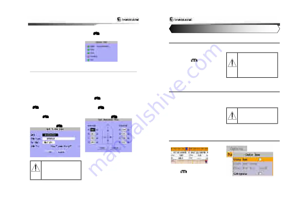
You can check the status of sensor,
Input to AIS in voyage.
►
GNSS : Check GPS receiving status
►
speed : Check if vessel moving speed data
are input
►
course : Check if vessel moving course
data are input
►
head direction : Check if vessel head
direction data are input
►
UTC
:
Check if
Coordinated Universal Time
data are input
Sensor information are checked as follows.
1 After selecting sensor information item,
push
.
2 Check the status of sensor.
3-5-2 Initial setup
Static information setup
►
MMSI : As maritime identification number,
this is assigned for vessel identification.
(9digits-number(0~9))
►
vessel name : marked on vessel
►
call sign : To identify vessel.( 7digits-
capital letter(A~Z), number(0~9), symbol)
►
vessel type
Static information setup is done as follows.
1 After selecting static information item, push
.
2 Using up down direction keys, select the
item to set up among 4 items.
3 Pushing
, input value, using direction
keys.
4 After selecting saving, using up down
direction keys, push
.
For static information setup is
only permitted by installation
company, user cannot change it
by her or himself. For more
information please contact your
distributor.
Antenna position setup
You can set up the position of GPS
inner/outer antenna of own vessel.
►
A+B = 0~511m
►
C+D = 0~63m
Region area setup is done as follows.
1 After selecting antenna position setup item,
push
.
2 Select the item to set up, using up down
direction keys.
3 Pushing
, input value, using direction
keys.
4 After selecting saving, using up down
direction keys, push
.
Installation and Operation Manual
22
4-1 Chart Selection
A user can select a map between
NAVI01NICS and S-MAP.
Chart Selection
1 Press and hold
.
2 Select the system setting icon.
3 Select Chart then a chart you prefer.
S-MAP is a pre-
installed chart but
optional NAVI01NICS
can be used. Please
contact your nearest
Samyung ENC office
for purchasing the
NAVI01NICS
4-2 Simulate Mode
Simulate Mode is great for practicing the actual use of a product when the satellites signals
and internal alarms are not available. In the simulate mode, the unit turns the GPS receiver off
and ignores data from all optional devices.
Two simulate modes are available as below.
•
Normal:
Allows a user to practicing the
actual use of a product without satellites
connection.
•
Demo:
boat travel alone given route at
given speed and show different function of
the unit.
Do not try to navigate in a
simulate mode. While the
simulate mode is turned on,
the GPS receiver is not
active.
4-3 Data Bar
Data bar displays useful navigation
information at the top of the display.
Displaying Data bar
1 Press
and select
Data bar
.
2 Select
Data bar
.
4 General Operation


