Installation and Operation Manual
63
6-7 NMEA 0183
The GPS chart plotter can be connected to
external devices with NMEA0183 and display
information such as followings.
•
DSC VHF Radio
•
GPS antenna(NMEA 0183)
•
Navtex
Main functions of NMEA 0183 port in AIS-50N
are as follows.
►
NMEA 0183(1):
Used as exclusive plotter
port. Option device should be connected to
(1), in order to use additional functions,
provided from plotter, Navtex, DSC,
etc.
►
NMEA 0183(2):
Used as exclusive AIS
port.
This
outputs
AIVDM,
AIVDO
messages of AIS.
NMEA 0183(1,2) ports work
individually. Please ask
SAMYUNGENC for detailed
information.
DSC VHF radio
Install DSC VHF wireless devices of option,
referring to above NMEA 0183(1) input
pictures.
Other NMEA instruments
NMEA is an industry standard for
interconnecting instruments. The chart plotter
can be connected to other NMEA instruments.
Set up the optional NMEA instruments as
above pictures.
•
The chart plotter can send GPS position and
•
The chart plotter can receive and display
depth, paddlewheel boat speed and water
temperature from an optional compatible
instrument.
•
The chart plotter can receive data from an
optional compatible GPS or GPS/DGPS
source.
During setup to send NMEA data to other
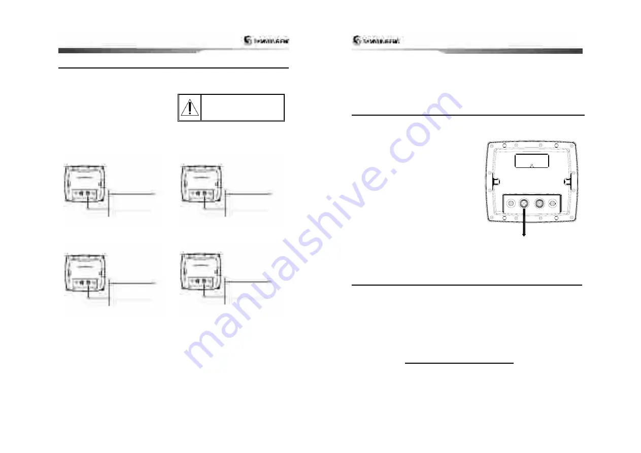
Power/Data cable
Pin number : 1
Pin number : 4
Input (1) NMEA 0183
Power/Data cable
Pin number : 1
Pin number : 3
Output (1) NMEA 0183
Power/Data cable
Pin number : 1
Pin number : 7
Input (2) NMEA 0183
Power/Data cable
Pin number : 1
Pin number : 6
Output (2) NMEA 0183
Installation and Operation Manual
64
other navigation data to an autopilot or
other instrument. An autopilot requires
APB, APA and VTG sentences
For information on sending NMEA data to the
instrument, contact Samyung ENC.
instruments, set NMEA out and specify the
NMEA data to send.
6-8 NMEA 2000
NMEA 2000 interface standard was
introduced for communications network to
interconnect marine electronic equipments
such as navigation chart plotter, engine, tank
level sensor and others on vessels. The
standard is regulated by The National Marine
Electronics Association in USA.
The chart plotter can be connected to
external devices with NMEA2000 and display
information such as followings.
• Engines have fuel flow sensors, therefore
fuel sensors are not required.
•
The chart plotter can receive and display
wind speed and direction from an optional
compatible wind instrument.
• The chart plotter can receive and display
depth from an optional depth instruments.
• The chart plotter can receive and display
boat speed and water temperature from a
paddlewheel sensor on a optional speed
instrument.
If connected display unit, use the cable
compatible with NMEA 2000 standard.
NMEA 2000
6-9 Setup and test
1 Put a blanking cap on any unused connector on the back of the display unit. Ensure all
connectors are plugged in and the display unit is in place.
2 If the display unit is bracket mounted, adjust tilt and rotation for best viewing and hand
tighten the knob.
3 Insert any required NAVI01NICS chart card.
4 Enter setup data to set up the chart plotter to your requirements and to set up any optional
sensors or instruments.
5 At the satellite display, check that it picks up GPS satellites. Wait for the GPS receiver to start
up and the GPS satellite to change to ‘Used in fix’.


