Sentera
PHX Unmanned Aircraft Pilot User Guide
www.sentera.com
Page 25
March 19, 2020
844.SENTERA
© 2020 Sentera Inc. All rights reserved.
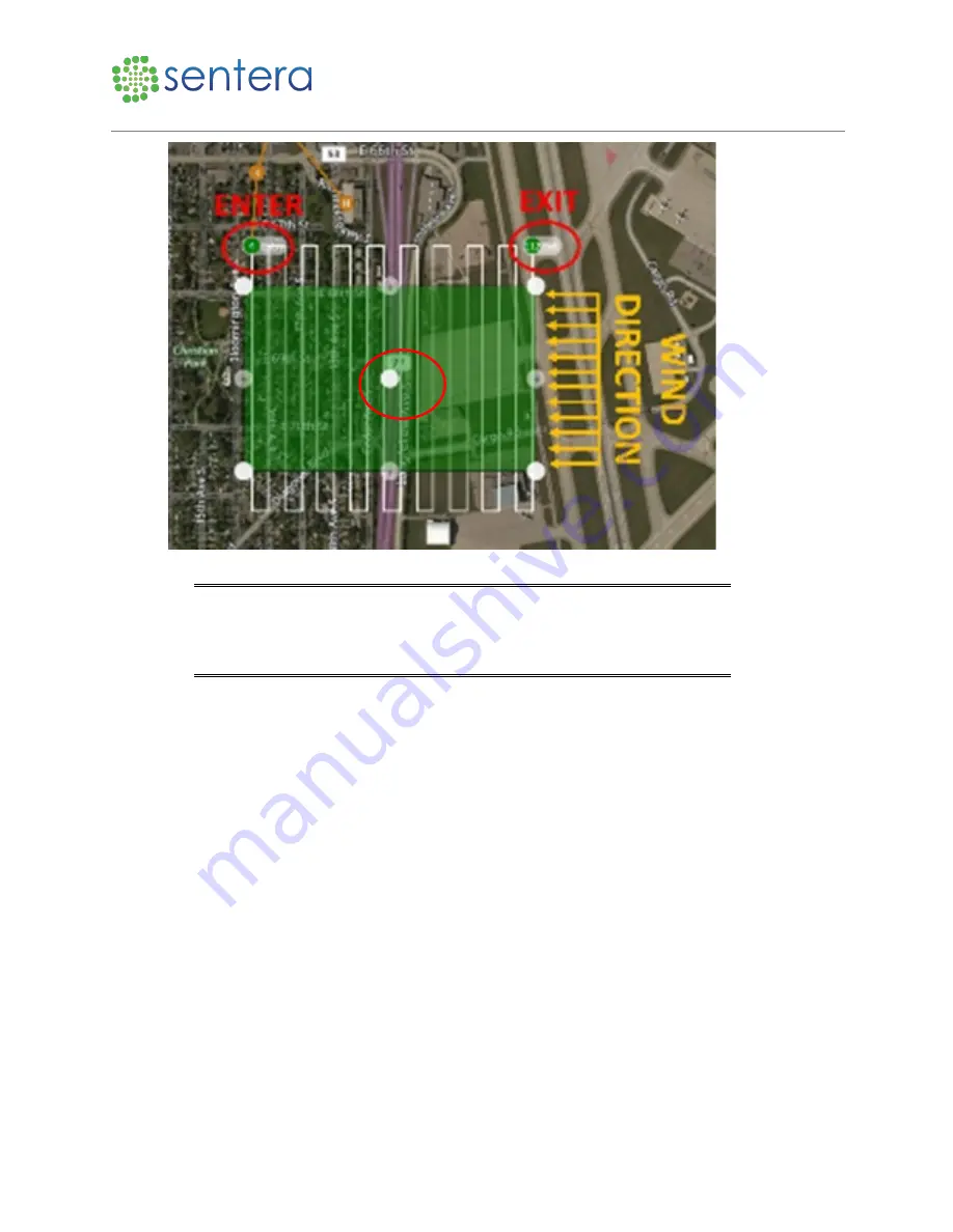
Figure 23: Adjust Size and Shape
Tip:
If possible, try to plan the survey perpendicular to the wind direction
with the aircraft starting downwind and working its way upwind. This
method may allow you to reduce the turnaround distance and optimize
flight performance.
5.1.3
Create a Corridor Scan
To create a corridor scan for surveys that are a thin strip of land that follows a linear path, such as a
railroad, river, road, or power lines:
1.
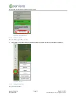
Click Pattern, and then click Corridor, as shown in Figure 24.


