19
User Manual
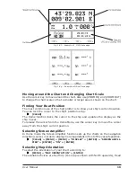
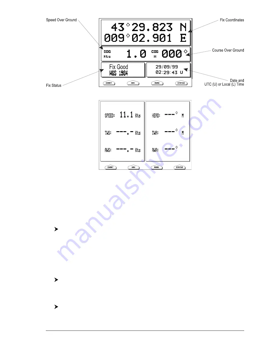
Fig. 1.8f - Example of GPS Data page
Fig. 1.8g - Example of Wind Data page
Moving around the Chart and Changing Chart Scale
Use the cursor key to move around the chart. Also use [ZOOM IN] and [ZOOM OUT]
to change the chart scale so that a smaller or larger area is shown on the chart.
Finding Your Boat Position
The most common use of the chart plotter is to show your ship's current location.
You can lock the cursor to the ship's position using:
[CLEAR]
The Home function locks the cursor to the ship and updates the display as the
ship moves.
To release the cursor from the Home Mode, use the cursor key to move the cursor
away from the ship's current position.
Selecting Screen Amplifier
In Home mode the Screen Amplifier function sets up the charts on the navigation
direction (course) in order to display more map details in front of the vessel’s position.
[CLEAR] + [MENU] + [MENU] + "DISPLAY" + [ENTER] + "SCREEN AMPLI-
FIER" + [ENTER] + "ON" + [ENTER]
Selecting Map Orientation
To select the orientation of your chart according to:
[MENU] + "MAP ORIENTATION" + [ENTER]
The available choices are North Up (the map is shown with North upwards), Head
Summary of Contents for COLOR MAX 15
Page 20: ...22 User Manual...
Page 56: ...58 User Manual...
Page 58: ...60 User Manual...
Page 78: ...80 User Manual...
Page 84: ...86 User Manual...
Page 96: ...98 User Manual...


