57
User Manual
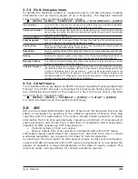
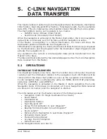
3.13 SYSTEM INFORMATION
To see details about the software and cartography data installed.
[MENU] + [MENU] + "About..." + [ENTER]
Opens the System Information page.
3.14 WORLD BACKGROUND CHARTS
The internal background charts can be updated to include the MAX A and B level
charts which provide improved marine data, rivers, lakes, terrestrial data (major
streets , highways , railways, etc...), Nav-Aids, depth areas, territorial water ar-
eas, etc... by reading them from a special data C-CARDs (contact your local dealer).
All units must have the Worldwide Background upload function that is activated
from the system.
Worldwide Background Update
The System Update menu is entered from the About page. To select this menu
follow the procedure:
Plug the special data C-CARD + [MENU] + [MENU] + "About..." + [ENTER] +
[MENU] + "Update Worldwide Cartography" + [ENTER]
Summary of Contents for COLOR MAX 15
Page 20: ...22 User Manual...
Page 56: ...58 User Manual...
Page 58: ...60 User Manual...
Page 78: ...80 User Manual...
Page 84: ...86 User Manual...
Page 96: ...98 User Manual...

