Page 11
2.0 Ground-Mapped Courses For Your BREEZE
2.1
About Course Maps
Your SkyCaddie
®
BREEZE requires the use of maps to provide distance information on the device (also known as
SkyCourses
®
). SkyCaddie uses the only method that Tour caddies use to provide distances to their Pros:
we walk the
course.
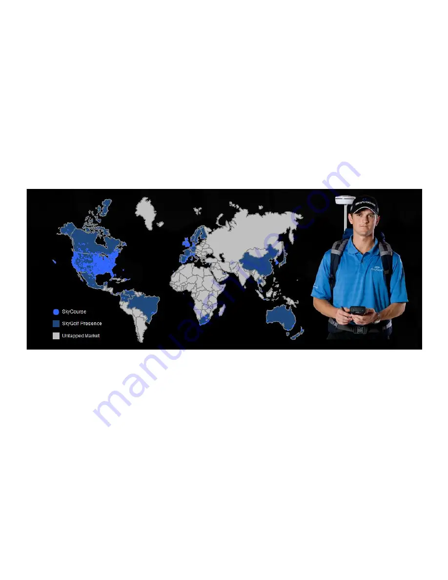
With a course library approaching 30,000 maps, SkyCaddie maintains the largest ground-mapped course
database in the world. No one else uses this method, because it is very expensive in terms of labor and money. But
SkyCaddie invests thousands of man-hours and millions of dollars every year to maintain our ground-mapped course
library because we believe your game is worth it. Our members trust the information that their SkyCaddie provides
them, which is why SkyCaddie has remained the leader in this technology for the last 10 years.
Our course map library is growing daily. Whenever we receive a notification that a course layout has changed, we send a
mapper out to re-map the course, so that our members have the most up-to-date distance information in the game. We
update thousands of courses a month.
The BREEZE is capable of storing and using two types of professionally-mapped courses: 1) Basic Green course maps
(also referred to as “preloaded courses”) and 2) Advanced Feature course maps.


