16
Horizon GPS Chart400 User Manual
Zoom In
Zoom In
Zoom Out
Zoom Out
3 6 4 8 . 1 7 3 S
3 6 4 8 . 1 7 3 S
1 7 4 4 2 . 9 9 6 E
1 7 4 4 2 . 9 9 6 E
!
!
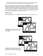
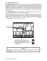
Routes
Dist
B R G
D I S T 0.86m
3 4 5
+ WPT002
+ WPT002
Waypts
3 6 4 8 . 1 7 3 S
3 6 4 8 . 1 7 3 S
1 7 4 4 2 . 9 9 6 E
1 7 4 4 2 . 9 9 6 E
!
!
+ WPT002
+ WPT002
New
List
+
Find
Save +
Save +
Save
— OR —
3 6 4 8 . 1 7 3 S
3 6 4 8 . 1 7 3 S
1 7 4 4 2 . 9 9 6 E
1 7 4 4 2 . 9 9 6 E
!
!
+ WPT002
+ WPT002
+
Waypt
!
Lat
Lon
Danger: N
Danger: N
W P T 0 0 3
36 48.173
36 48.173
174 42.996
174 42.996
Edit
Cancel
Save
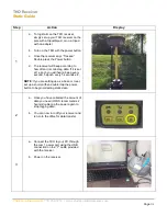
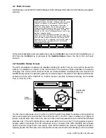
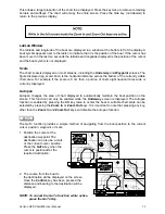
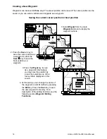
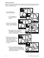
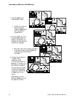
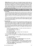
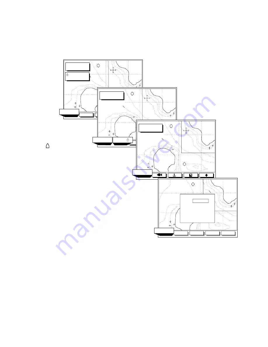
1. Select
from the main
screen to display the
waypoint options.
Waypts
Waypoints
2. Press the
key to
save the cursor position as
a waypoint or press the
key to save the
boat position as a
waypoint.
Save +
Save
3. Press the
key to save
as a waypoint. Alternatively
you may save the position as
a
by selecting one of the
four symbols displayed on this
screen.
Waypt
mark
4. At this point you can change the name of
the waypoint or edit it's lat/lon by pressing
the
key. Press the
key to save
the new waypoint to memory. For a
description of the editing functions see the
following section
.
Edit
Save
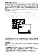
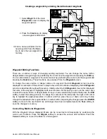
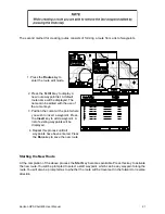
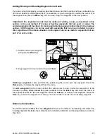
Waypoint Editing
Functions
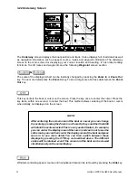
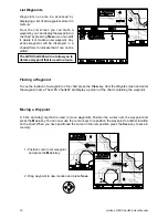
Creating a New Waypoint
Waypoints can be saved in three ways. The vessel position can be saved. The cursor position can be
saved or you can enter a latitude and longitude as a waypoint.
Saving the current cursor position or boat position