
5
Horizon GPS Chart400 User Manual
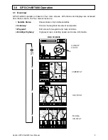
1.0
GPS CHART400 Introduction
Thank you for purchasing a Horizon 400 SERIES chart plotter. The GPS Chart400 is a compact,
ruggedly built, highly integrated navigation instrument. The GPS Chart400 has been designed for
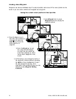
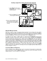
ease of use. With this instrument you will be able to display detailed charts of your area, display
important navigation information and show your boats position and destination. Complex navigation
functions can be performed with a few simple key presses, taking the hard work out of navigation. It
can also be connected to an autopilot to allow freedom from the helm.
Charts are provided in the C-MAP NT format utilizing smaller cartridges and significantly more chart
detail.
Note: The USA Department of Defence (DoD) introduces a varying offset, known as Selective
Availability (SA), to degrade the accuracy of the GPS system. As an approximate guideline it is
generally assumed that the accuracy obtained with SA active causes the GPS derived position to be
within 100 yards of the true position 90% of the time and within 50 yards of the true position 50% of
the time. For increased accuracy some countries provide Differential GPS (DGPS) networks to
increase accuracy to within a few yards.
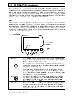
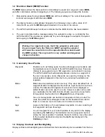
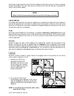
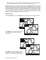
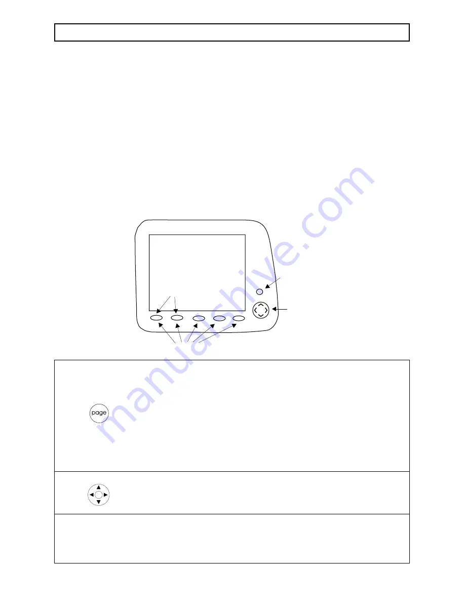
1.1 Front Panel
Soft Keys
MOB Keys
Cursor
Keys
Power ON/OFF
or Page Key
Page Key
The Page key performs a number of functions. Firstly to switch power
on press and release the Page key. To switch power off press and hold
the key until the display becomes blank.
The Page key also functions as the “Next Screen” key. Press the key
momentarily to step to the next main screen (Satellite Status, Underway,
Waypoint or BirdsEye Highway).
Lastly, the power on/off key functions as an “Escape” key. If you are
stepping through a number of screens you can use this key to back out
of the current screen or menu displayed. This function is not active when
displaying one of the four main screens.
Cursor keys
The cursor keys control the movement of the screen cursor, enabling
movement in eight directions. The cursor keys are also used to select
setup fields in the Aux screens and to edit waypoint names and data.
See section 3.3 for further details.
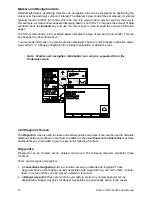
Softkeys
The functions of these five softkeys are defined by the display currently
selected. The specific function of a softkey is displayed in a small box
directly above the key. If the function is displayed in grey or the box is
empty the key is inactive.