Page 94
GPS Chart Plotters
R
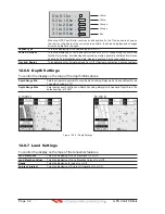
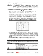
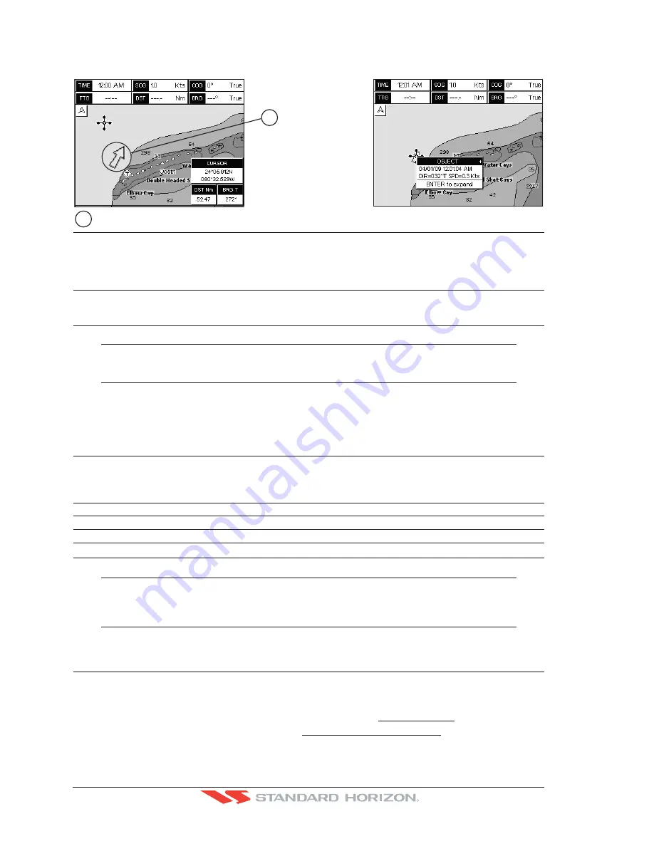
from the Quick Info. A dedicated icon is shown on the Quick Info window to indicate that the object
queried is a VAD. The same icon is also shown on the Full Info page and in addition the extended
text Value Added Data is shown on the details of the VAD object. See the figure below:
Examp
l
e of VAD ob
j
ect
1
1
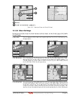
Chart Lock (*)
: Turns the chart function On/Off. When Chart Lock is On, the available zoom scales are only the
ones containing cartographic data. Instead when Chart Lock is Off, it is possible to zoom down
into zoom scales not covered by cartographic data after the last available zoom scale covered by
cartographic data. The DSI (Data Safety Indicator) window, if present, will show “NO CHART”,
when an empty level is entered in the location of map expansion mode.
Mixing Levels
: When the map coverage at the current chart scale does not fill the entire display, the GPS Chart
Plotter draws the rest of the map using charts from above and below the current scale. When this
function is turned on you will notice the display may redraw 2 to 3 times to show all the details.
NOTE(*)
When an empty level is entered, the message “No cartographic coverage” is shown on a window
in a corner of the map display. The warning message is always displayed as long as the current
zoom has no data coverage.
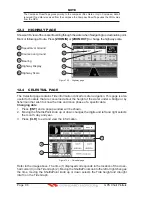
12.0.9 Underwater Objects Settings
To control the display on the map of the Underwater Objects features.
Underwater Object Limit
: Selects the max depth value to display Underwater Objects. If value is set to 0FT, the Underwater
Objects are not shown on the charts. Menu options are greyed out. If value is more than 0FT (i.e.
10FT), in the Range from 0FT to the selected value the Underwater Objects are displayed
according to their setting below. The default setting is 10FT.
Rocks
:
Sets Off/Icon/Icon+Depth* the displaying of the Rocks.
The default setting is Icon.
Obstructions
:
Sets Off/Icon/Icon+Depth* the displaying of the Obstructions.
The default setting is Icon.
Diffusers
:
Sets Off/Icon/Icon+Depth* the displaying of Diffusers.
The default setting is Icon.
Wrecks
:
Sets Off/Icon/Icon+Depth* the displaying of Wrecks.
The default setting is Icon.
NOTE(*)
Choose the options: OFF (the object is not visible independently of the selected “Underwater Object
Depth Value”); ICON (the object icon is visible without tags, in the range selected from “Underwater
Object Depth Value” option); ICON+DEPTH (the object icon and tag is visible, in the range selected
from “Underwater Object Depth Value” option).
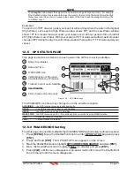
12.1 CUSTOMIZING CHART SETTINGS
The GPS Chart Plotter also allows you to customize items shown on the chart (discussed
in above sections) instead of using a pre-defined table discussed in Par. 12.0.4 Display Mode.
1. Press
[MENU]
. Move the ShuttlePoint knob to highlight
SETUP MENU
and press
[ENT]
.
2. Move the ShuttlePoint knob to highlight
MAP CONFIGURATIONS
and press
[ENT]
or
move the ShuttlePoint knob to the right.
Summary of Contents for CP180
Page 1: ...CP180 CP180i CP300 CP300i Owner s Manual Color GPS Chart Plotters R ...
Page 4: ...Page 6 GPS Chart Plotters R ...
Page 12: ...Page 14 GPS Chart Plotters R ...
Page 38: ...Page 40 GPS Chart Plotters R ...
Page 48: ...Page 50 GPS Chart Plotters R ...
Page 60: ...Page 62 GPS Chart Plotters R ...
Page 68: ...Page 70 GPS Chart Plotters R ...
Page 76: ...Page 78 GPS Chart Plotters R ...
Page 80: ...Page 82 GPS Chart Plotters R ...
Page 108: ...Page 110 GPS Chart Plotters R ...
Page 118: ...Page 120 GPS Chart Plotters R ...
Page 120: ...Page 122 GPS Chart Plotters R ...
Page 126: ...Page 128 GPS Chart Plotters R ...
Page 130: ...Page 132 GPS Chart Plotters R ...


