©2021 Swellpro Technology Co., Limited 27
Map Interface
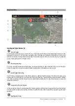
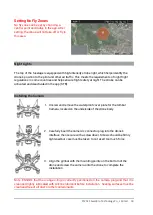
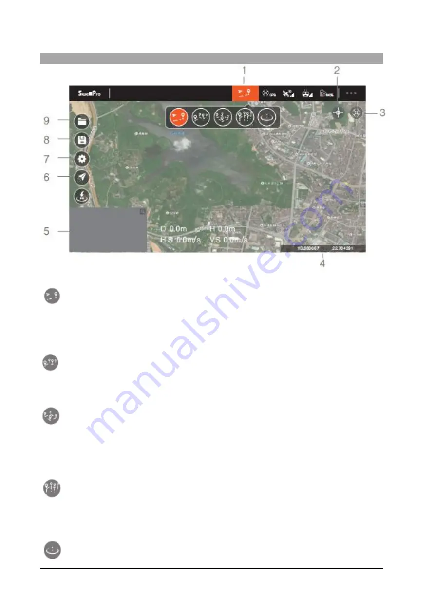
Intelligent Flight Modes [1]
Point Flight
In GPS mode, click where you want to fly to on the map and the SD4 will automatically navigate to the
destination and hover. You can also manually enter longitude and latitude information as well as set
altitude and speed. During aerial photography or missions, the aircraft can autonomously fly to selected
places, freeing the pilot from flight control.
Route planning
For more complex autonomous flight plans, use Route planning to direct the SD4 to fly a route through a
series of waypoints. For each waypoint, height, waiting time and heading can be chosen.
Grid Flight Planning
In GPS mode, choose between 3 and 256 waypoints to define a flight boundary. The SD4 will create a grid
flight pattern to uniformly fly over all of the area within the grid. Choose height, grid parameters, gimbal
and camera settings for the chosen mission. Grid Flight are effective for search and rescue, survey and
inspection missions.
Inspection Point Flights
In this mode, the mission can be planned to include specific actions at each waypoint such as descending
to take a water sample, take a series of photos or perform some other task before progressing to the next
waypoint.
Intelligent Circle

