40
5.14.3
Geofencing settings
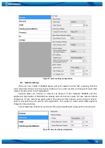
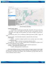
FM3620 has 5 configurable Geofence zones and it can generate an event when defined
Geofence zone border is crossed.
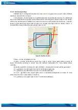
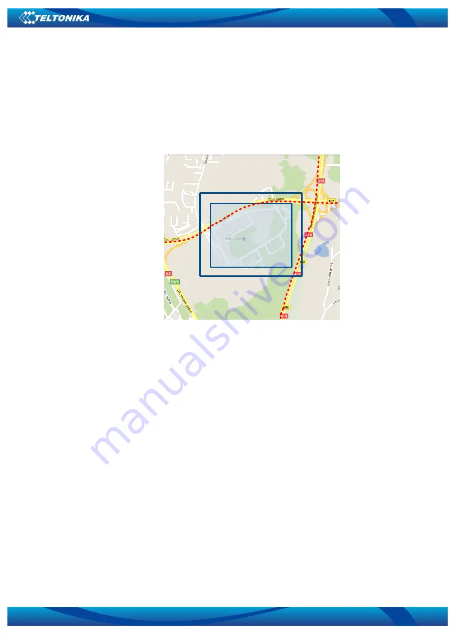
Frame border – frame border is an additional border around Geofence zone. It is additional
area around defined zone used to prevent false event recording when object stops on the border
of the area and because of GNSS errors some records are made inside area and some – outside.
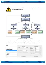
Event is generated only when both borders are crossed. See figure 28 for details: track 1 is
considered to have entered the area while track 2 is not.
Track Nr. 1
Track Nr. 2
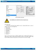
Figure 31. Geofence border
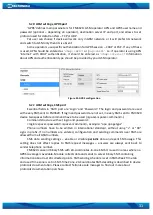
Shape – can be rectangle or circle
Priority – priority of Geofence event: low, high or panic. These levels define priority of
event information sending to server. See I/O element description for more details about
priorities.
Generate event (On entrance, On exit, On Both) – choose when record will be generated;
X1 –
geofence zone
left bottom corner X coordinate (longitude);
Y1 – geofence zone
left bottom corner Y coordinate (latitude);
X2 or R – geofence zone upper right corner X coordinate (longitude) or radius of circle
when Circular zone is used (radius in meters);
Y2 – geofence zone upper right corner Y coordinate (latitude);

