Copyright © 2021 TTAAll Rights Reserved.
G200 Manual
26
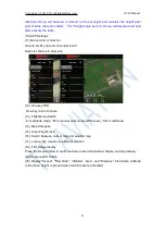
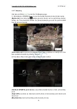
4.8.1 Mapping
Click [Ground Plan]
to enter the Plot Mapping page
1) Press [Block management]
to view the marked blocks and online blocks nearby.
[
My Ground
]: User have rights to operate ground in this list, such as performing, sharing,
editing, etc. This ground list includes the ground created by you and the ground added
from the [Around ground].
[
Around Ground
]: Ground will be displayed here when its position is nearby and it has
been posted to the public by others or yourself.
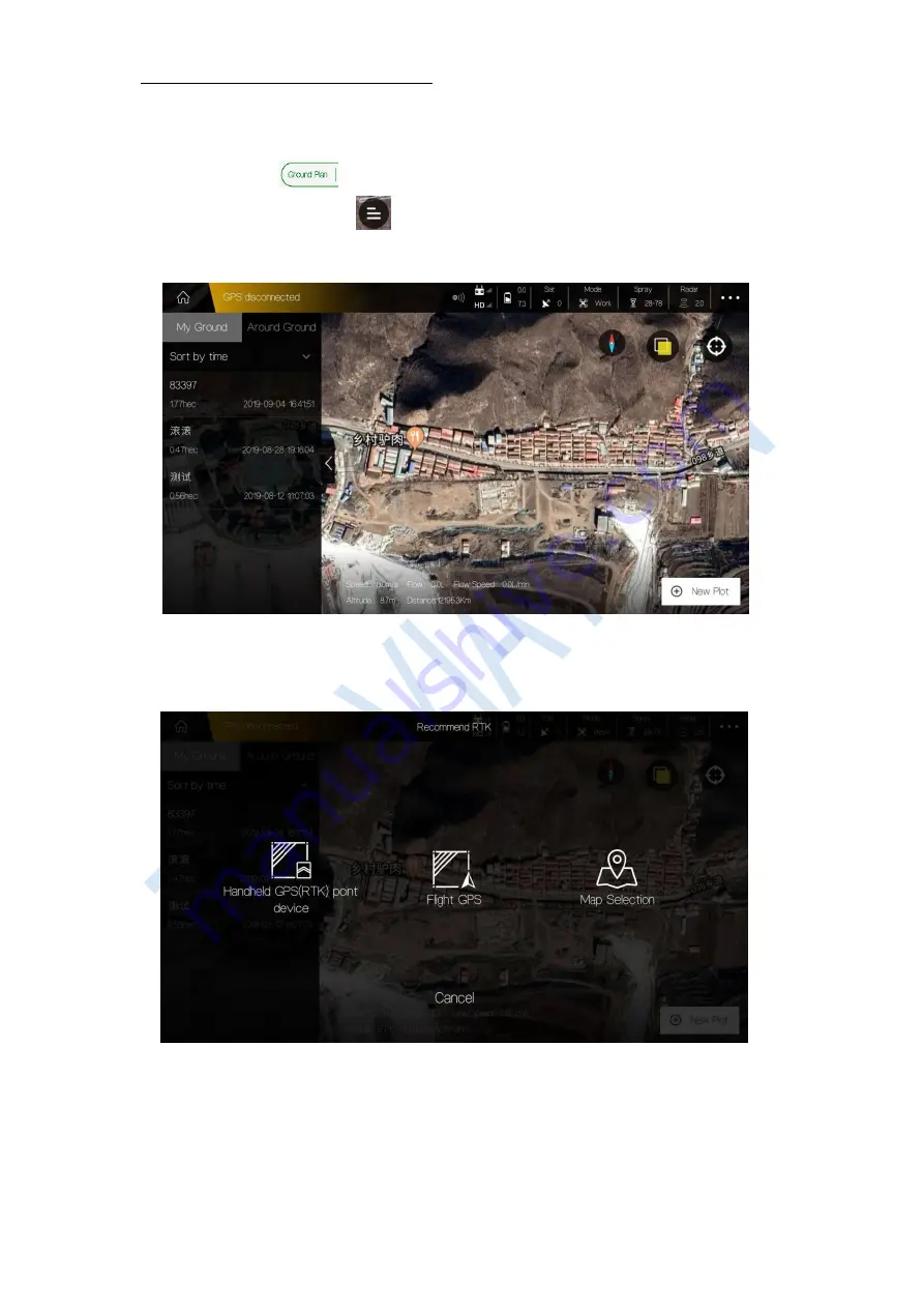
2) Press [New Plot] to start mark blocks and select mark method.
[
Handheld GPS(RTK) point device
]: use portable marked device to mark out boundary
point.
[
Flight GPS
]: use drone as mark device and fly drone to the boundary point location and
mark it out.
[Map Selection
]: mark out boundary points manually on map.


