
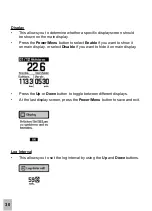
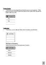
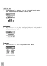
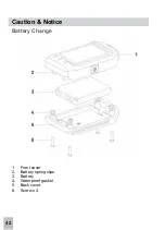


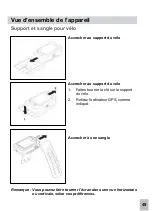
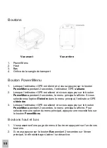
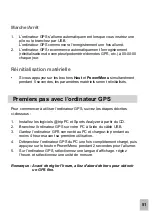
38
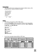
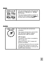
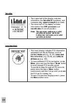
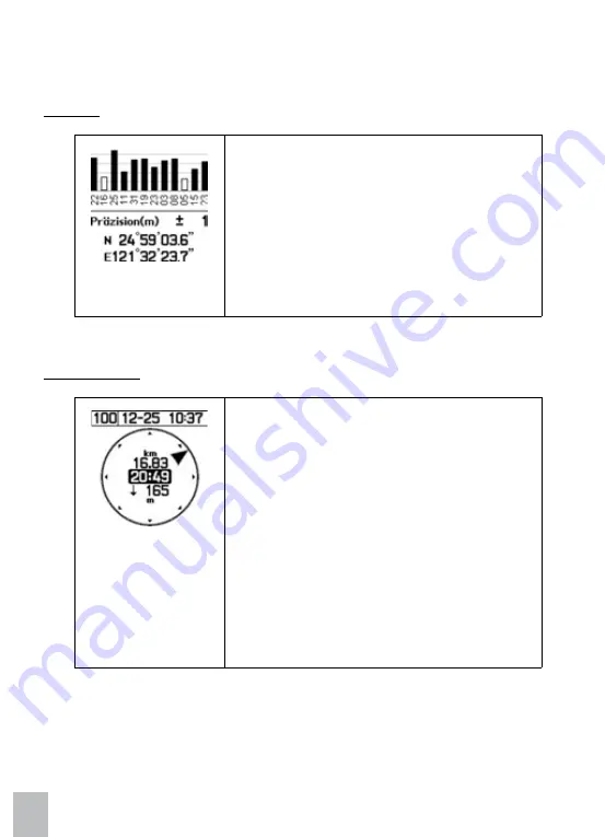
Satellite
Location Navi
› The upper half of the display includes
information like
Satellite ID
(numbers) and
corresponding
signal strength
(bar chart).
• The lower half of the display includes
infor mation like
GPS precision
and
coordinates
of current position.
Note: The solid bar indicates a valid
satellite detected, while the
hollow bar indicates an invalid
satellite detected.
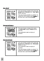
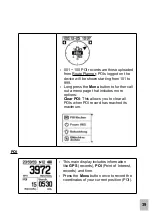
› This main display includes POI information
uploaded from Route Planner, such as
current distance
(e.g. 16.83),
estimated
time of arrival
(e.g. 20:49), and
altitude
difference
(e.g. 165).
› To use a different POI for navigation, press
Menu
once and use the
Up
or
Down
button
to scroll through POI records saved.
To quickly browse through all POI records,
press down the
Up
or
Down
button
continuously and don’t let go until you locate
the POI you’re looking for.
To return to previous display screen, press
the
Menu
button once.