3.5
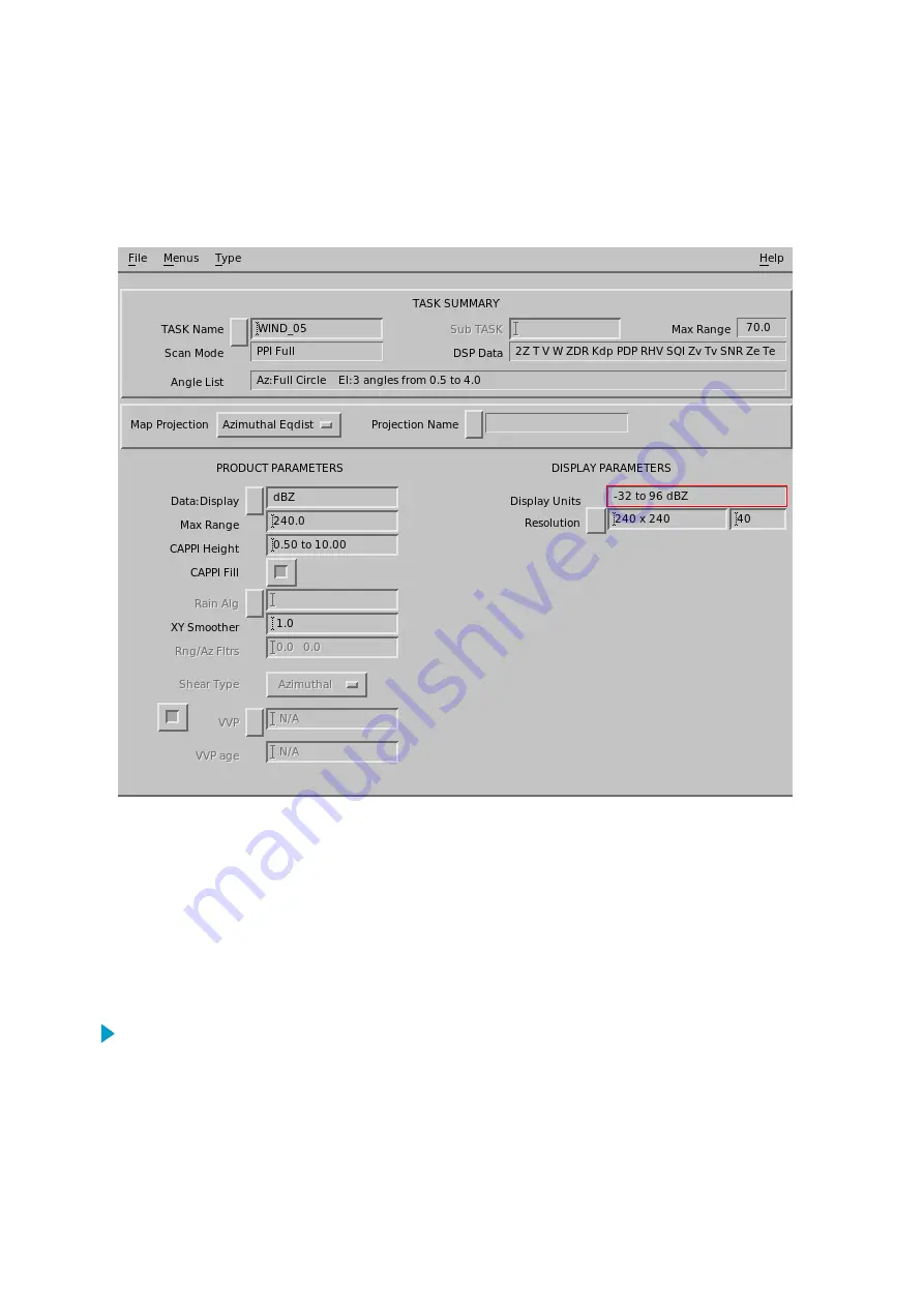
CAPPI
: Constant Altitude Plan
Position Indicator
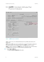
Figure 5
CAPPI
Example Configuration
CAPPI
is a horizontal cut at a selected altitude used for surveillance and severe storm
identification.
CAPPI
requires a
PPI
volume scan at multiple elevation angles. The number of angles and
their spacing depends on the range and height of the
CAPPI
you want to produce.
CAPPI
also supports calculation of
SHEAR
data. The configuration options are the same as
the
SHEAR
product, with choices of radial, azimuthal, and elevation shear.
1. Select
Type > CAPPI
and
The
CAPPI Product Configuration
menu opens.
IRIS Product and Display User Guide
M211319EN-H
36
RESTRICTED
Summary of Contents for IRIS
Page 1: ...M211319EN H RESTRICTED User Guide IRIS Radar IRIS Product and Display...
Page 12: ...IRIS Product and Display User Guide M211319EN H 10 RESTRICTED...
Page 71: ...Chapter 3 Configuring IRIS Products RESTRICTED 69...
Page 303: ...Figure 103 Typical Spectrum Plot Appendix A Basic Radar Meteorology RESTRICTED 301...
Page 386: ......
Page 392: ......
Page 393: ......
Page 394: ...www vaisala com...


