™
Page 20 of 67
2 vLoc3 RTK-Pro Receiver
2.10 Information Pushbutton (Depth & Current)
4G
Log
27
0.72m
43.0mA
50°42′59.90570′′N
3°26′35.54358′′W
43.0mA
27.50m
Pushbutton
0′1′′ (2DRMS)
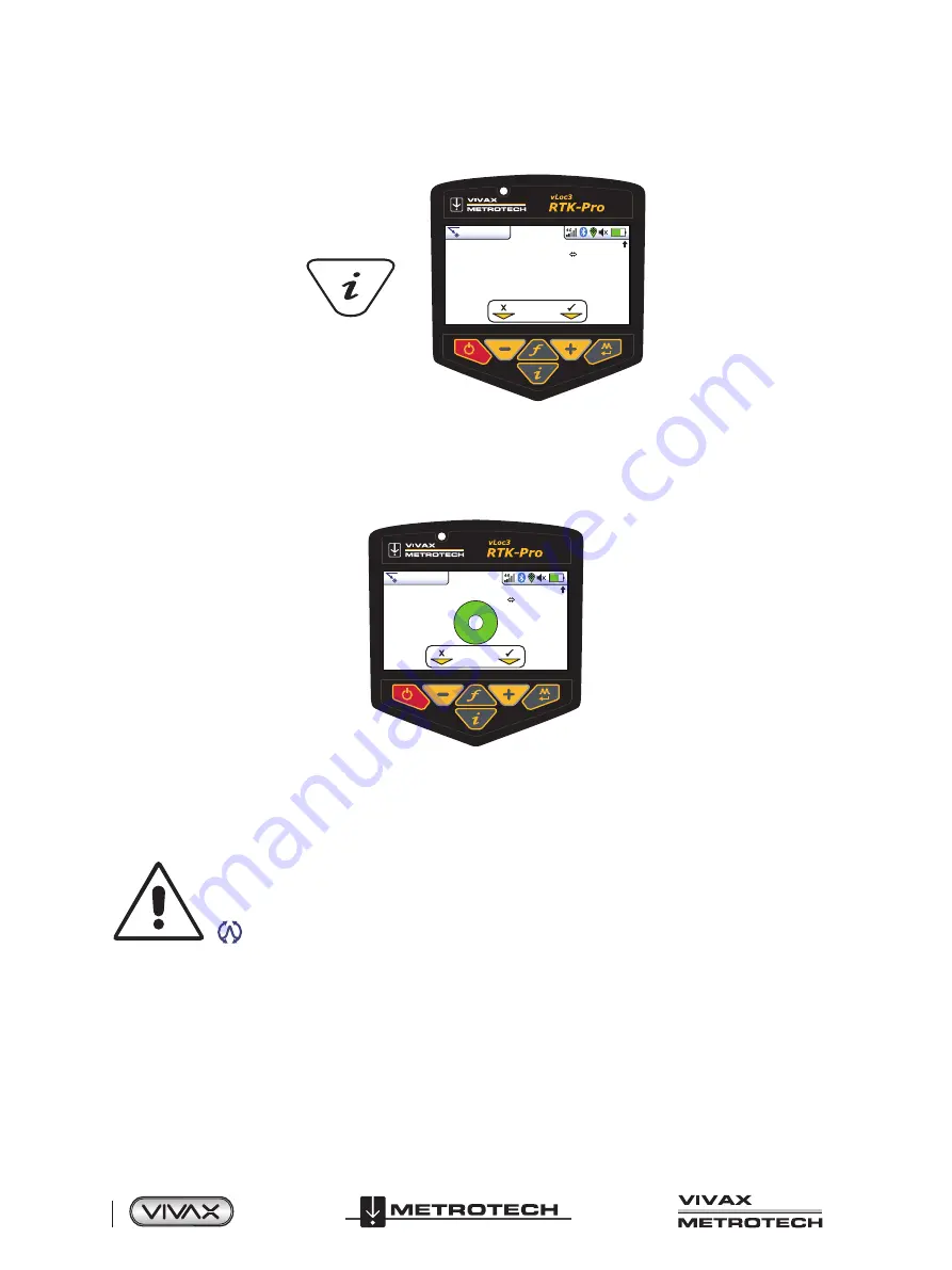
When in a Locate screen, a quick press of the “i” (information) pushbutton will display the depth and signal current.
The display shown above shows Longitude/Latitude positional information. To the top right is the height above sea level. This is
only displayed when the equipment is paired with a valid GPS system and a valid signal is received. Also note that the 2DRMS
is shown, this is the expected GNSS/RTK accuracy.
4G
Log
29
50°42′59.90570′′N
3°26′35.54358′′W
63.3mA
27.50m
0′1′′ (2DRMS)
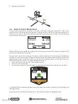
If a valid GNSS/RTK fix is available, an additional screen will be shown with a spirit level. The function of this is described in the
“Datalogging” section.
It is also possible to save the data to the internal memory. This is explained in detail in the “Datalogging” section.
IMPORTANT
When locating a cable or pipe (“Line”) – depth and current measurements should only be taken with
the bottom of the receiver standing on the ground and directly in line with the target line. Unless the
Omni direction mode is selected in which case orientation is not important.
The accuracy of depth and current readings depends on the quality of the radiated signal being located. If the signal is
symmetrical (undistorted), the depth reading will be accurate to within 5% of the actual depth. If the signal is distorted, depth
readings will be less accurate. When taking depth measurement, always hold the receiver at 900 to the ground.
Alternative Locate Screens
As previously mentioned, the vLoc3 RTK-Pro has a number of alternative screens. The following section describes the operation
of these screens. It is left to the user to decide which is the best screen for a particular application.
To scroll through the available screens, use long key presses on the “return” key.


