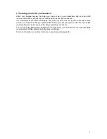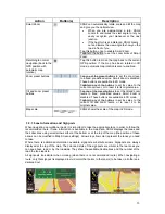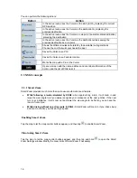
Icon
Information
Details
Action
Indicator strip
- sounds muted/enabled
Nothing happens if you tap
this area of the screen.
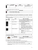
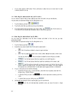
The following symbols appear in the Indicator strip:
Icon
Description
The sound output of XSG2 is muted.
The sound output of XSG2 is enabled.
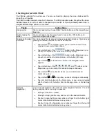
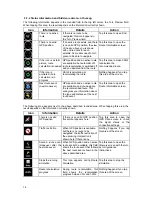
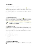
The following information can be seen in the three data fields shown on the map screen. Tap this area
to open the Trip Information screen where you can select which values to be shown in these three
fields.
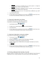
When there is no active route, these fields show the following information: current speed, compass
and the current time of day.
Icon
Type
More information
Compass
Shows the direction of your heading both when
the map is automatically rotated (3D) and when
the map is always facing North (2D).
Speed information
There are speed values that can be shown:
Current speed
Speed limit on the current road
Time information
There are time values that can be shown:
Current
GPS time
Time remaining to reach the destination
Time remaining to reach the next via point
Estimated arrival time at the destination
Estimated arrival time at the next via point
Distance information
There are distance type values that can be
shown:
Distance remaining to reach the
destination
Distance remaining to reach the next via
point
Current
altitude
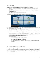
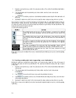
The next area is the GPS position quality indicator field. Tap this area to open the Quick menu (page
Error! Bookmark not defined.
).
Icon
Status for
More information
GPS position quality
A higher number of lit bars indicates better GPS
position accuracy.
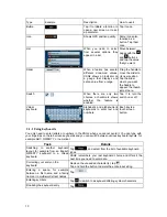
2.2.5 Using the Cursor (the selected map location)
First, place the Cursor at the desired map location with one of the following options:
Use
the
Find menu to select a location. The map returns with the selected point (the Cursor) in
the middle, and the Cursor menu appears with the available options.
Tap the screen and tap again to place the Cursor at the desired location. Now tap
to open
the Cursor menu.
15


