STRUCTURE SCANS
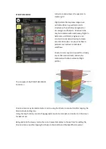
The concepts of the STRUCTURE SCANS
Function ->
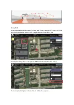
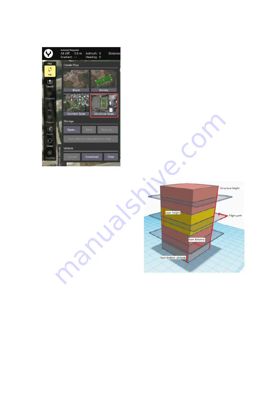
A Structure Scan allows s the operator to
create a grid
Flight pattern that captures images over
vertical surfaces
(e.g. walls) around a
structure with an arbitrary polygonal (or
circular) ground footprint. Structure Scans
may be combined with nadir/survey flights to
better serve architects, engineers, and
construction companies looking to create
accurate 3D models, or output .las files to
products such as Revit or Autodesk
workflows.
Structure scans may also be used for virtually
any vertical scan element, and may be
combined with other automated flight
profiles.
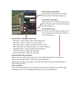
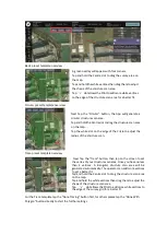
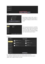
Structure Scans may be inserted into a mission using the Structure scan button after tapping the
Mission Route Setting icon.
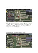
Using the map function, zoom to the geographic area to be scanned, and centre it on the screen
for best access.
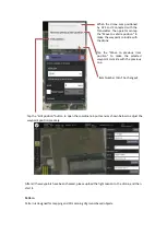
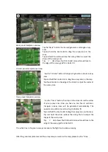
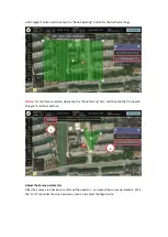
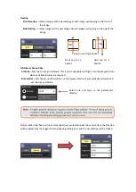
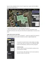
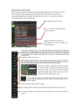
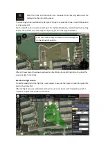
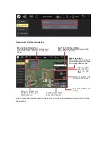
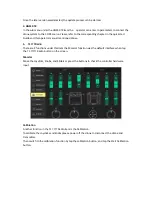
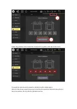
Being similar to the Survey mode, there are 3 preset templates to choose from for editing the
Structure Scan area after tapping the Structure Scan button and the takeoff point was set.
Summary of Contents for H850
Page 1: ...H850 Operation Manual...
Page 28: ...Step 5 Connecting Step 6 Tap the Finish button to finish the binding process...
Page 29: ......
Page 81: ...Disclaimer...

